


Wintry showers with ice on roads today and strong winds on Tuesday may lead to some disruption
Register for free to read more of the latest local news. It's easy and will only take a moment.

The Met Office has issued a Yellow Warning of wintry showers for today followed by high winds tomorrow that may lead to loss of power and services being disrupted.
The bulletin for today states: "In the wake of Storm Corrie, falling temperatures may allow a brief period of snow in a few areas, mainly on hills. Later in the night, clearer skies and wintry showers are expected, these most frequent for northwest and north Scotland, few and far between in eastern areas.
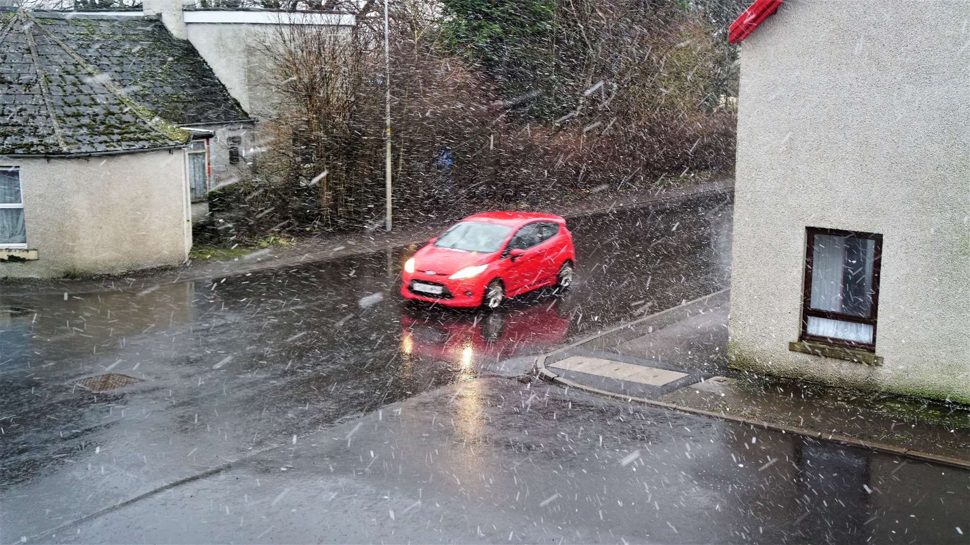
"These are likely to lead to ice forming on untreated surfaces, while strong northwesterly winds may lead to temporary blizzard conditions over high ground, with 1-2cm of snow above 200m elevation and perhaps a few cm on the highest routes."
There will probably be icy patches on some untreated roads, pavements and cycle paths and icy surfaces could increase the likelihood of accidents happening, as well as injuries from falls.
The bulletin issued this morning at 8.58am is another Yellow Warning for wind tomorrow.
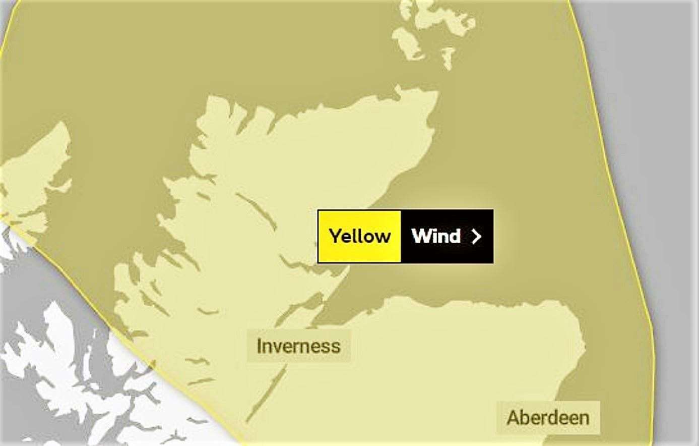
It states: "Strong northwesterly winds are expected to develop across northern Scotland early on Tuesday morning, persisting through the day. Gusts of up to 50mph are expected, reaching as high as 55 to 65mph across northern Sutherland, Caithness and Orkney. These speeds are much less than experienced in Storms Malik and Corrie, and not unusual for the time of year but recently weakened trees and structures could be prone to further damage. Winds will ease by evening."
There may be some short term loss of power and other services. Probably some bus and train services affected, with some journeys taking longer.
It’s possible that some coastal routes, sea fronts and coastal communities will be affected by spray and/or large waves.