


Weekend weather warnings issued for Caithness
Register for free to read more of the latest local news. It's easy and will only take a moment.

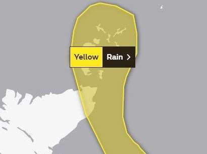
The Met Office has issued two Yellow weather warnings for wind and rain covering parts of Caithness over the weekend.
The first warning states that "heavy rain will lead to some localised flooding and disruption to transport services".
What to expect:
- Bus and train services probably affected with journey times taking longer
- Spray and flooding on roads probably making journey times longer
- Some interruption to power supplies and other services likely
- Flooding of a few homes and businesses is likely
The second warning for Sunday states there will be "very strong winds likely to bring disruption to travel across mainly coastal regions".
It continues: "An area of heavy rain moving northwards late Saturday and through Sunday morning is likely to bring 40-50 mm of rain in 12 hours over parts of NE Scotland and across Orkney, with a small chance of 70 mm in the north of the warning area."
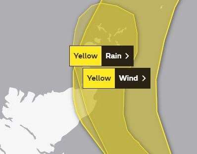
Further details added to the post say: "A deepening low pressure system moving northwards through Sunday is likely to bring very strong winds to the northeast of Scotland overnight into Sunday before moving across the Northern Isles through the day. The strongest winds likely to remain just offshore, but there is a potential for 60 to 70 mph gusts in coastal areas bringing disruption to ferry activities."
What to expect:
- Some delays to road, rail, air and ferry transport are likely
- Some short term loss of power and other services is possible
- It’s likely that some coastal routes, sea fronts and coastal communities will be affected by spray and/or large waves