


WEATHER WATCH: Hurricane force gusts hit Wick during blustery January

By Keith Banks
The so-called albedo of any substance is its ability to reflect the sun's radiation.
Albedo is usually expressed as a percentage such as: woodlands, 5-10 per cent; wet soil, 5-10 per cent; sand, 20-30 per cent; clouds, 50-70 per cent and snow, 80-90 per cent.
In the case of water, its surface behaves like a mirror. When the sun's rays strike it indirectly, it may reflect perhaps in excess of 70-80 per cent of the solar energy received.
However, when the sun is directly overhead, as little as five per cent of the sun's energy may be reflected, the remainder being absorbed.
Surfaces that reflect all the wavelengths of the visible light portion of the electromagnetic spectrum appear white. Those that reflect one or perhaps several of the wavelengths acquire and manifest the colour or mix of the colours reflected. Surfaces that absorb all the visible light rays striking it appear black.
Smooth surfaces reflect more energy than rough ones. This occurs because the solar energy received tends to get trapped between the adjacent faces of the uneven contours. Shiny metal surfaces can often reflect over 90 per cent of the radiant energy that falls upon it.
A so-called black body is a surface that absorbs all the solar energy that strikes its surface. However, a perfect black body only exists in theory. This is because all surfaces reflect some energy.
Absorbed solar energy is converted to heat and raises the temperature of the material depending upon its composition. A given amount of water would need more radiant energy than, for example, an identical quantity of a metal to raise its temperature by the same amount. This physical heat energy transfer process is known as specific heat capacity.
January 2024 was Wick's coldest since that of 2021. However, closer examination of the burgh's archive for mean air temperature for January shows that it is the 51st mildest in a series commencing from 1910.
Wick's precipitation record for January 2024 attested that it was the least wet since that of 2022. However, scrutiny of a series of Januaries stretching back to 1910, showed that it is presently the 46th equal wettest.
The rainfall total for January 1920 was identical to that of January 2024.
Four 'days of gale' were witnessed during January 2024.
Wick's mean air temperature for January 2024 was 3.99C (39.18F). The long-term average, in terms of the 30-year averaging period from 1991-2020, is 4.01C (39.22F).
Wick's average daytime maximum air temperature for January 2024 was 6.37C (43.47F). The long-term average is currently 6.40C (43.52F). The highest maximum was 12.2C (54.0F), recorded on January 28.
Top stories
-
Thurso pupils hear about engineering as a career during Rolls-Royce visit
-
North MSP says Hospital at Home scheme can help ‘transform care delivery’
-
WATCH: Ed Miliband says cutting Scotland’s energy costs ‘unfair’ to Midlands and South of England
-
‘From Wick to the West End and Beyond’ – actor to share success story that started with Wick Players
Lowest maximum was minus 0.9C (30.4F), noted on January 16.
The town's average overnight minimum air temperature for January 2024 was 1.60C (34.90F). The long-term average for January is 1.62C (34.91F). The highest overnight minimum air temperature was 7.5C (45.5F), observed on January 28.
There were eight air frosts. The lowest air temperature was minus 5.2C (22.6F), witnessed on January 17.
The temperature fell to 0.0C (32.0F), or lower at 5cm over the grass on 14 dates. The lowest temperature recorded over the grass was minus 6.0C (21.2F), on January 16.
Precipitation was logged on 28 dates. The total for the month was 83.8mm (3.30 inches), or 115.7 per cent of the current long-term average for January. The wettest day was January 2. The quantity for the 24 hours commencing 9am (GMT) was 26.6mm (1.05 inches).
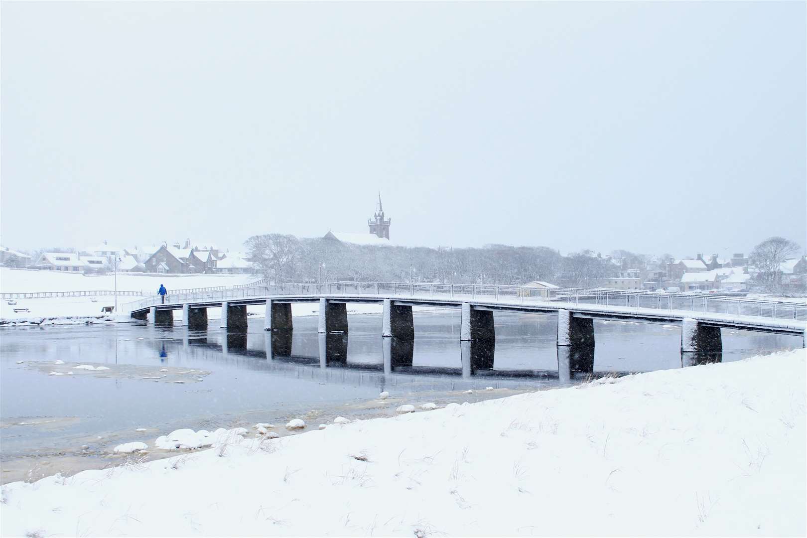
On January 18, at 6pm (GMT), and again at midnight, 29.0cm (11.4 inches) of snow was measurable over the grass in the town.
Wind velocities reached or exceeded gale force 8, (39mph/33.9knots) on 14 dates.
'Days of gale' occurred on January 2, 22, 24 and 31. The strongest wind velocity was observed during the hour ending 4am (GMT), on January 22, when a severe gale force 9 west-north-westerly wind, associated with the passage of Storm Isha, gusted up to 79.5mph/69.1knots, hurricane force 12 on the Beaufort scale.