


Travel disruption across Caithness from Storm Pia
Register for free to read more of the latest local news. It's easy and will only take a moment.

The Met Office warns of very strong winds occurring across Caithness and much of the UK this morning with travel disruption expected.
Posted at 9.25am today (December 21) the bulletin states that strong west to northwesterly winds have developed across much of the UK with widespread gusts of 45-55mph.
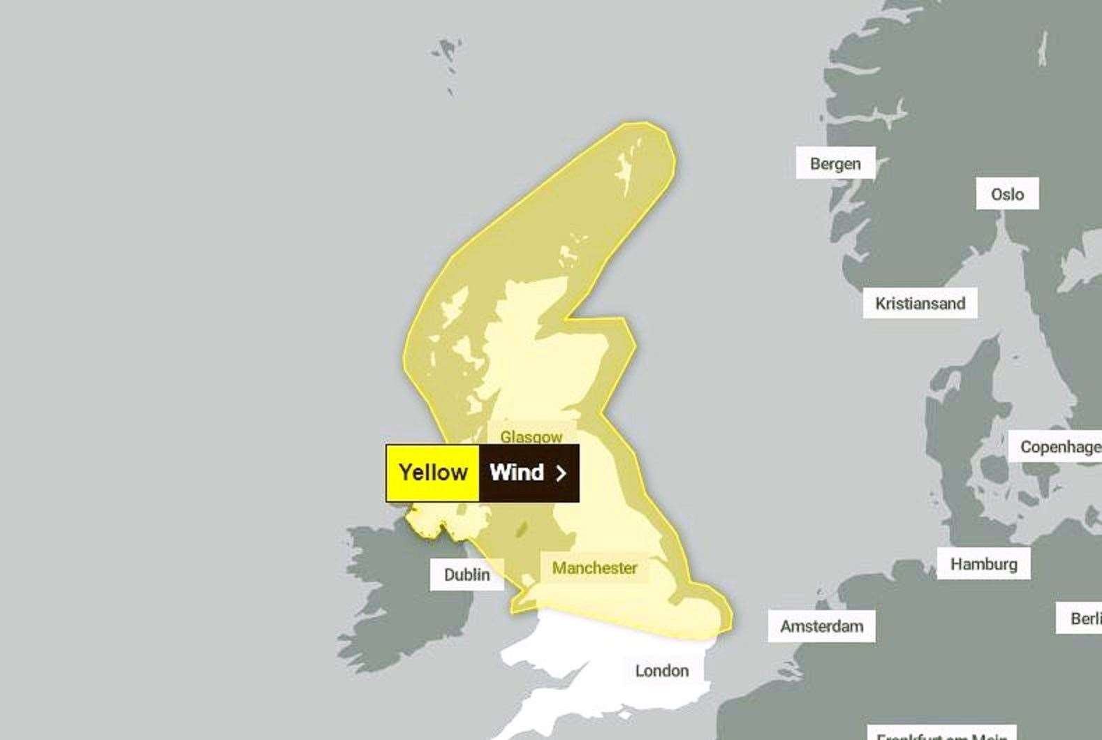
It continues: "Stronger gusts of 60-70mph are likely over and to the east of high ground and 70-80mph across Shetland at first this morning. However, winds will gradually decrease through the remainder of the day. The system has been named Storm Pia by the Danish Met Institute, as impacts are expected to be greater here."
Advice
Give yourself the best chance of avoiding delays by checking road conditions if driving, or bus and train timetables, amending your travel plans if necessary. People cope better with power cuts when they have prepared for them in advance. It’s easy to do; consider gathering torches and batteries, a mobile phone power pack and other essential items.
If you are on the coast, stay safe during stormy weather by being aware of large waves. Even from the shore large breaking waves can sweep you off your feet and out to sea. Take care if walking near cliffs; know your route and keep dogs on a lead. In an emergency, call 999 and ask for the Coastguard.
Be prepared for weather warnings to change quickly: when a weather warning is issued, the Met Office recommends staying up to date with the weather forecast in your area.
What to expect
- Some delays to road, rail, air and ferry transport expected
- Some bus and train services affected, with some journeys taking longer
- Delays for high-sided vehicles on exposed routes and bridges
- Some short term loss of power and other services
- Coastal routes, sea fronts and coastal communities will be affected by spray and/or large waves