


Strong gusts will bring disruption to Caithness, says Met Office
Register for free to read more of the latest local news. It's easy and will only take a moment.

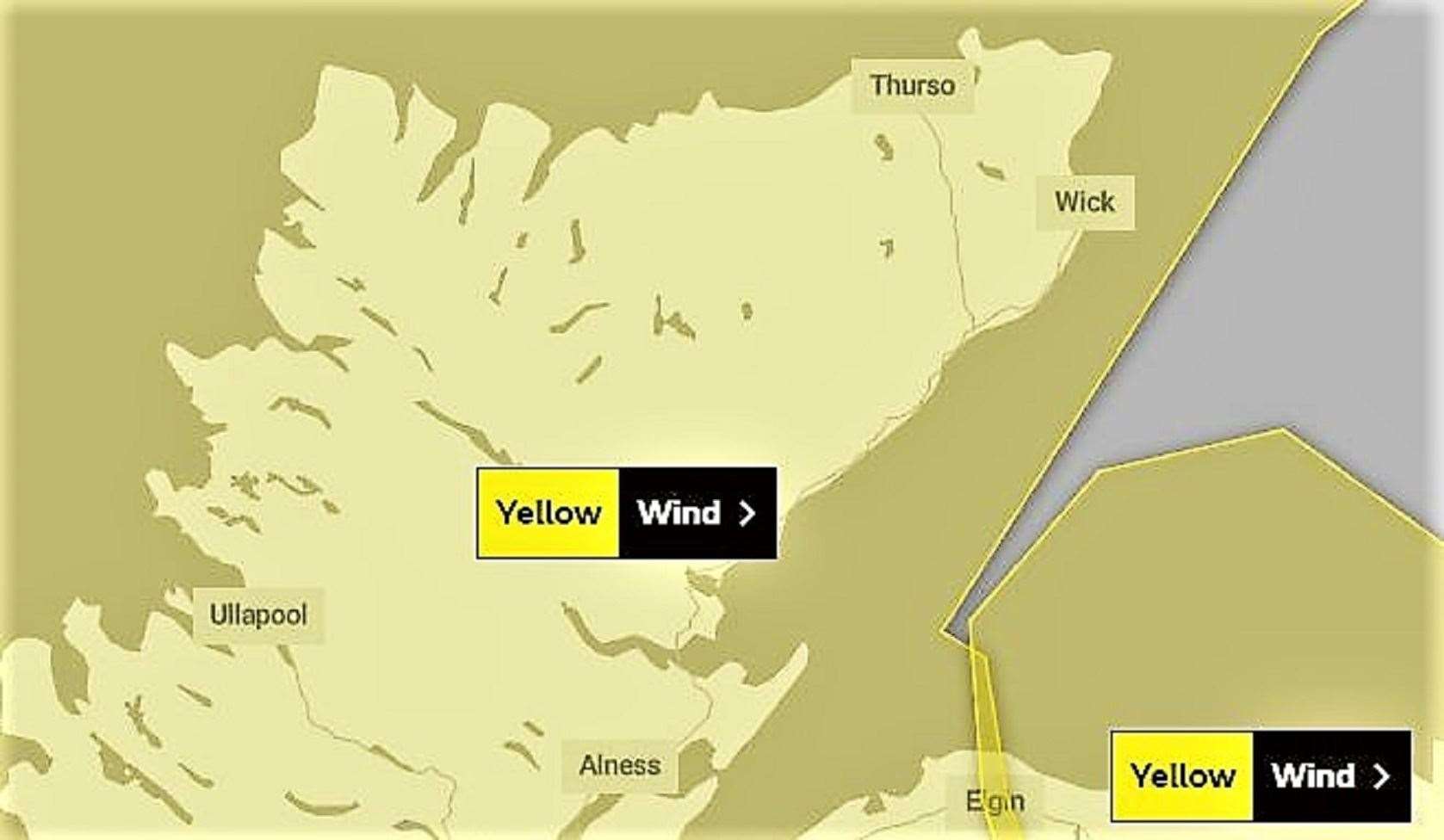
A Met Office Yellow Warning of strong westerly winds will bring some disruption on Saturday to Scotland, parts of Northern Ireland and northern England.
The bulletin issued at 10.24am today states: "An area of strong winds will cross Scotland, parts of Northern Ireland and some northern counties of England on Saturday morning before easing during the afternoon.
"Gusts of widely 50-60mph are expected and there is a chance of a brief period of gusts in excess of 70mph in places, particularly for parts of eastern Scotland later in the morning."
What to expect:
- Some delays to road, rail, air and ferry transport are likely
- Probably some bus and train services affected, with some journeys taking longer
- Delays for high-sided vehicles on exposed routes and bridges likely
- Some short term loss of power and other services is possible
- It’s likely that some coastal routes, sea fronts and coastal communities will be affected by spray and/or large waves
Wick's weather watcher Keith Banks said: "Late on Wednesday evening, a force 7 westerly wind increased to severe gale force 9 by 11pm, with a peak gust of 74.8mph – that's Hurricane force 12 on the Beaufort scale, and provisionally, I believe, that's the strongest gust we've experienced here in Wick since 9 January 2015.
"There were lots of potentially damaging gusts in the storm 10 category between 10pm and 1am on Thursday morning before the winds eased and veered to the north west.
"There is another gale waiting in the wings associated with a major Atlantic low that will sweep past Iceland towards Norway during the next 24 hours. This one will pound us tomorrow, and may cause disruption and damage."