


Storm Agnes to bring high winds across Caithness midweek
Register for free to read more of the latest local news. It's easy and will only take a moment.

Strong winds associated with Storm Agnes are expected to move northeast across the UK and bring possible disruption across Caithness over Wednesday and Thursday this week.
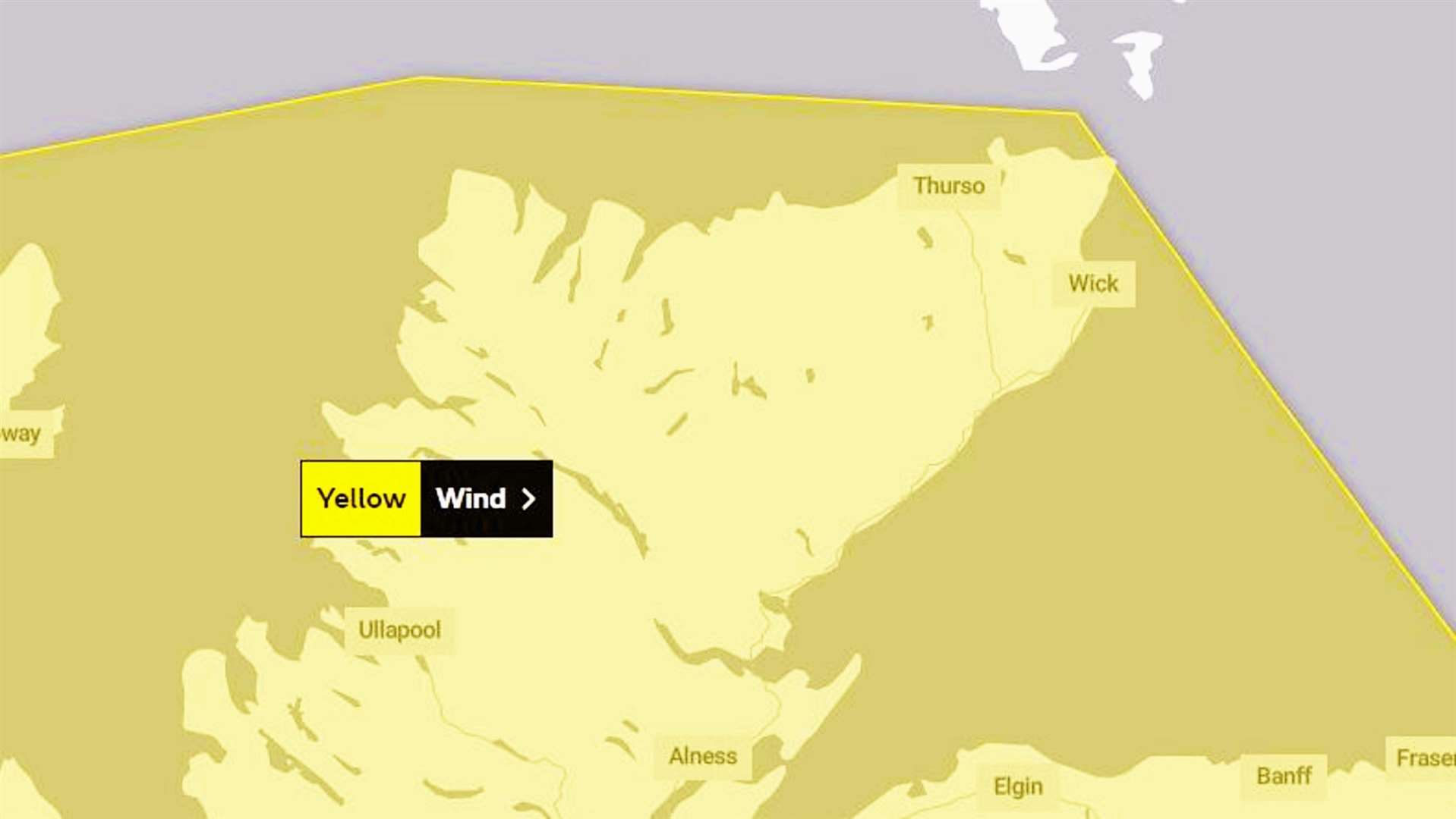
The Met Office updated an earlier Yellow Warning to include the far north in a bulletin issued at 11.03am today.
It stated: "A deep area of low pressure named Storm Agnes, is expected to approach southwest Ireland early on Wednesday, and track across northern parts of the UK before clearing early Thursday.
"There is some uncertainty on the precise track and depth of the low, however the most likely outcome at present is for a wide swathe of 50 to 60mph gusts to affect inland areas, perhaps locally stronger over and to the lee of hills in the north. Some Irish Sea coasts could see gusts of 65 to 75mph, with a small chance of 80 mph gusts on the most exposed coasts and headlands."
What to expect
- There is a small chance of injuries and danger to life from flying debris.
- There is a slight chance of some damage to buildings, such as tiles blown from roofs.
- There is a slight chance that power cuts may occur, with the potential to affect other services, such as mobile phone coverage.
- Longer journey times are likely, or cancellations as road, rail, air and ferry services are affected. Some roads and bridges are likely to close.
- There is a small chance that injuries and danger to life could occur from large waves and beach material being thrown onto sea fronts, coastal roads and properties; with a chance of some minor flooding of coastal roads.