


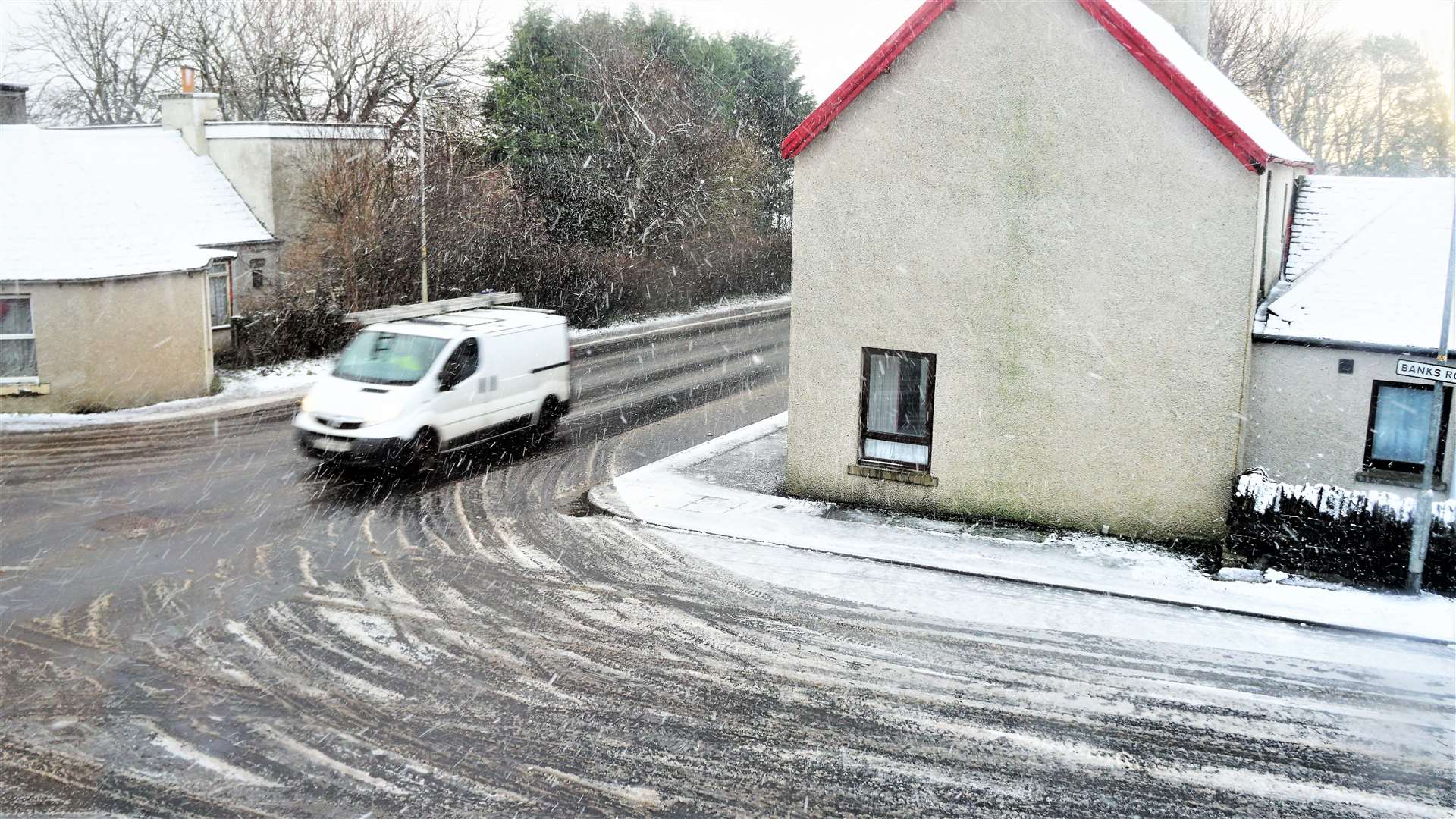
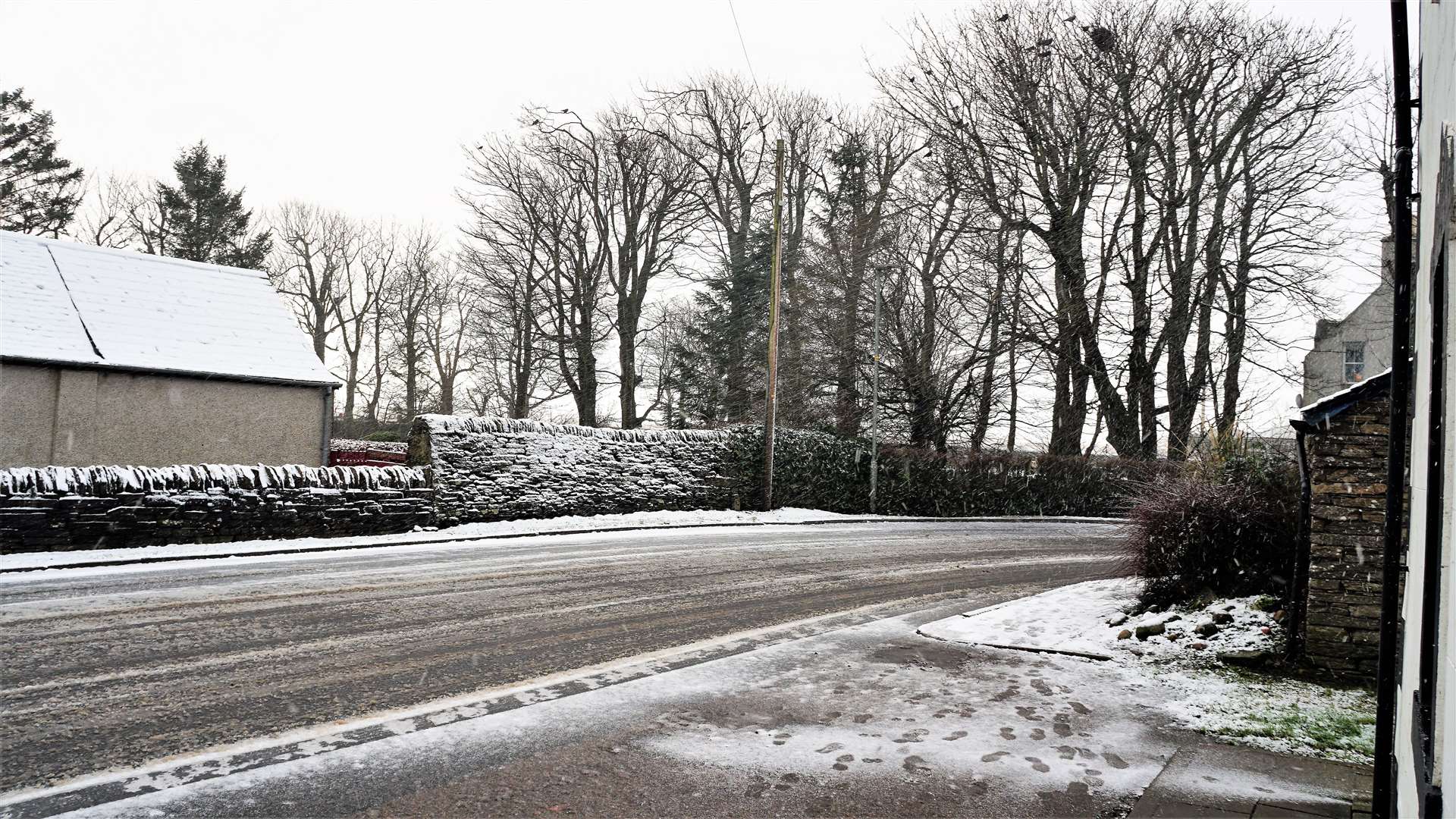
Snow and more to come in Caithness, says Met Office
Register for free to read more of the latest local news. It's easy and will only take a moment.

Wintry showers will lead to some tricky travel conditions for today and more is forecast for the weekend says the Met Office.
Bulletins issued this morning state that some roads and railways are likely to be affected "with longer journey times by road, bus and train services".
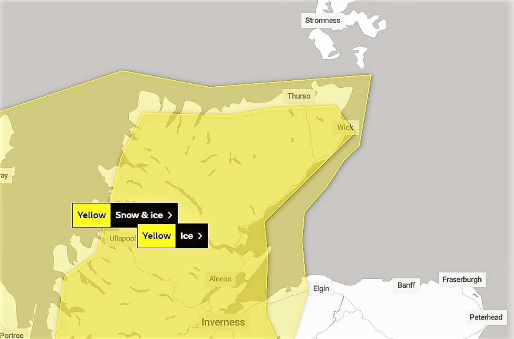
Currently, there may be icy patches on some untreated roads, pavements and cycle paths.
Today's Met Office outlook states: "Wintry showers will continue for the rest of the day before easing towards midnight with icy patches forming on untreated surfaces. Snow showers will lead to a slight covering of snow in places, with a few cm possible on higher routes."
For Saturday and Sunday it forecasts heavy snow showers that "may lead to some travel disruption, especially over high routes".
Some roads and railways are likely to be affected over the weekend with longer journey times by road, bus and train services.
The weekend forecast by the Met Office states: "Frequent and occasionally heavy snow showers are expected on Saturday night and Sunday, and combined with strong westerly winds will lead to blizzard conditions and drifting snow on higher routes across Highland. Accumulations of 2 to 5cm are possible in places, with 10 to 15cm accumulating on routes above 300 metres. Icy patches will be an additional hazard, more especially across western coastal areas."