


'Parky start' to winter with hoar frost, says Wick weather watcher
Register for free to read more of the latest local news. It's easy and will only take a moment.

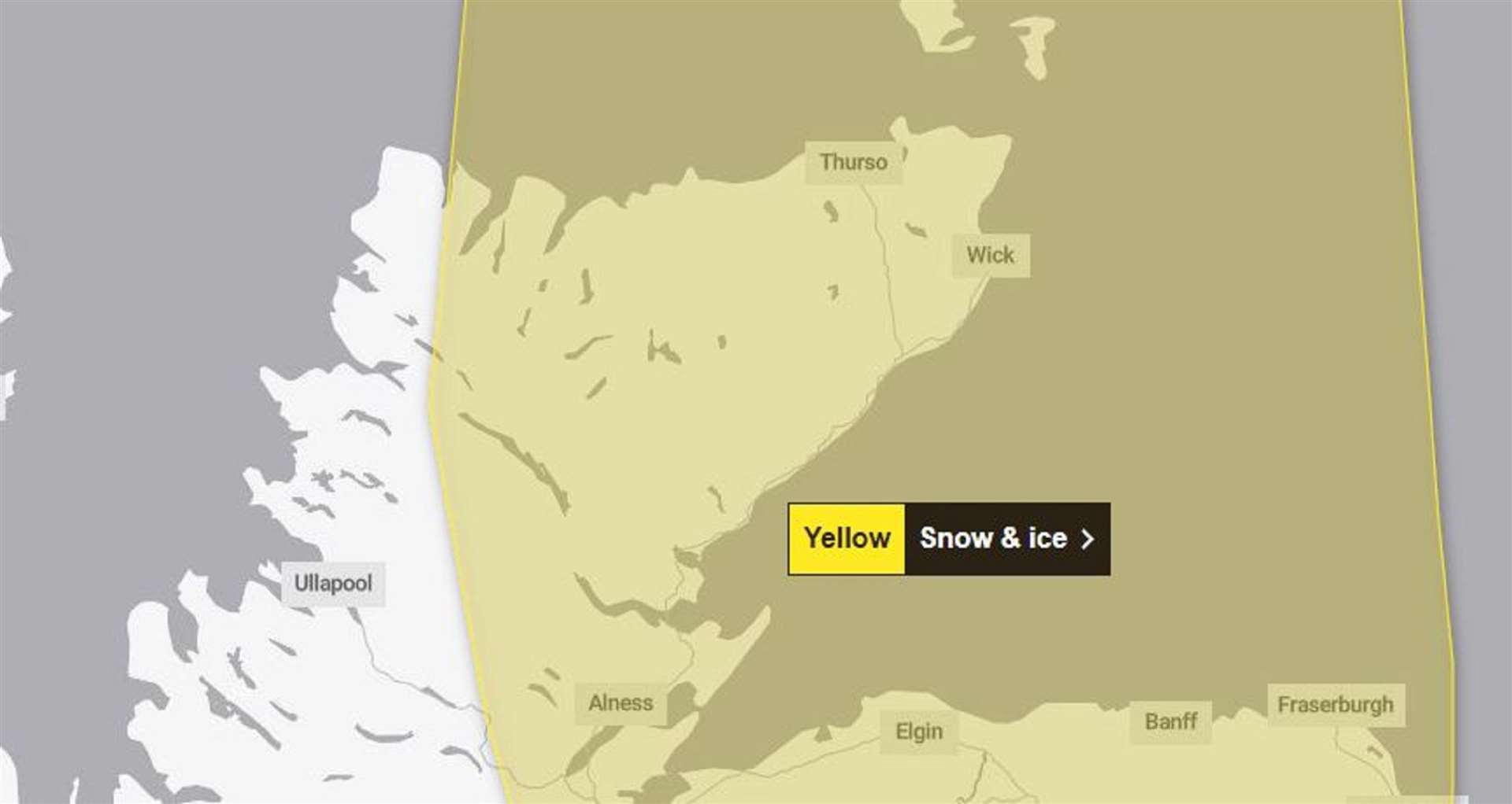
With winter hitting Caithness in earnest over the last few days, a weather expert from Wick shared details about the nippy conditions.
Keith Banks says winter in the far north "has kicked off with a parky start" with sub zero overnight temperatures occurring in Wick on three successive nights and Friday witnessing an overnight minimum of minus 1.5C (29.3F).
He continued: "However a decidedly nippy 5.6C (21.9F), was logged in the town on Saturday morning, with the air temperature recovering to a high of just 2.0C (35.6F) during the day in the weak winter sunshine.
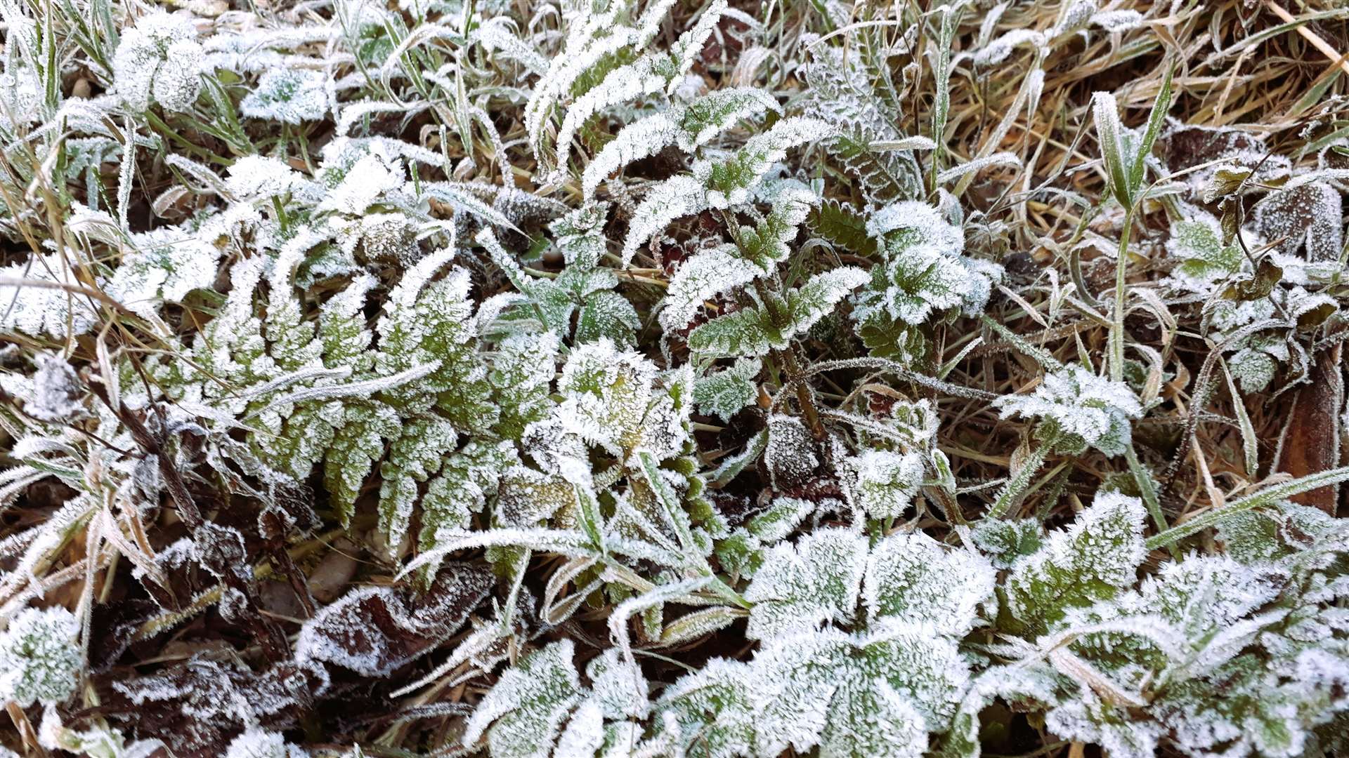
"Clear skies, coupled with near calm conditions on Saturday night were optimal for rapid radiative cooling and this was reflected with an overnight low of minus 6.0C (21.2C) – a severe value for a coastal location such as Wick. The high moisture content in the stagnant air was brought to what meteorologists call its 'frost point'.
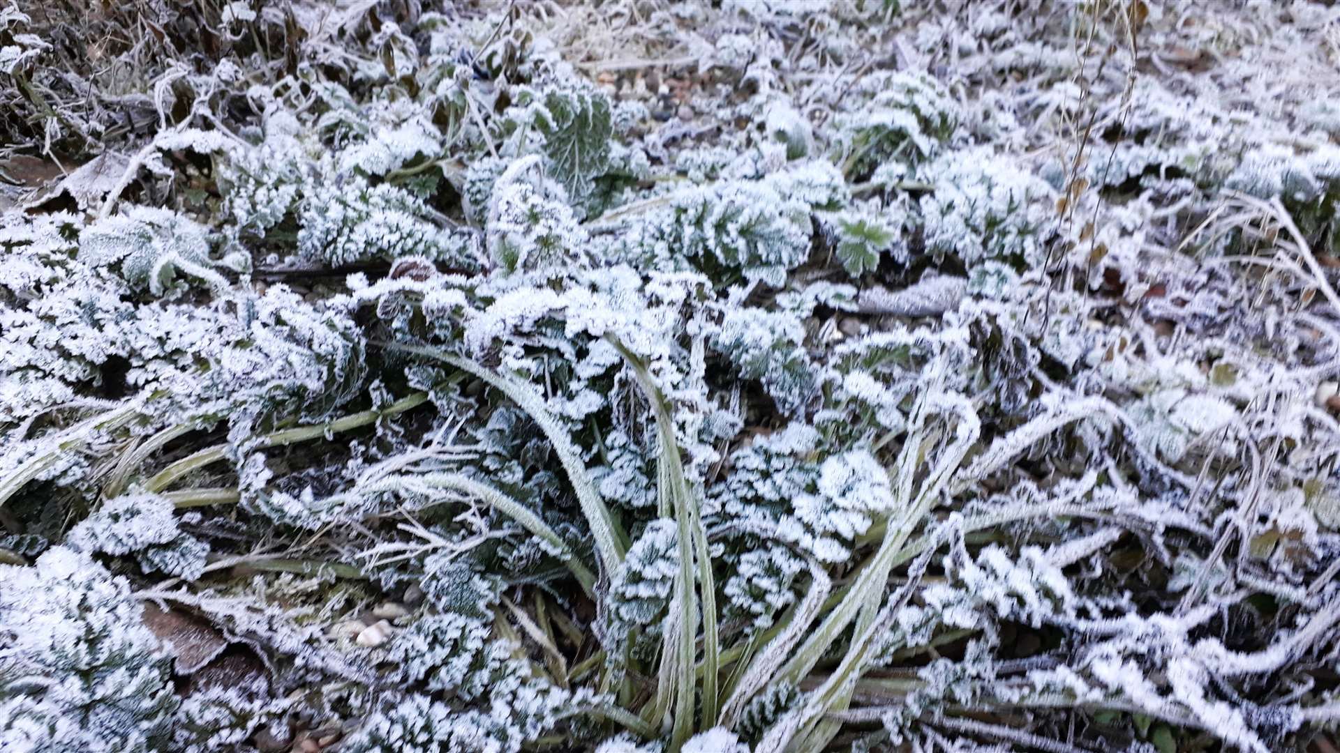


"The subsequent substantial deposition of the abundance of supercooled water vapour resulted in a notably stunning 'winter wonderland' of silvery-grey hoar frost that liberally coated untreated roads pavements, vehicles, lawns, fences and many other exposed surfaces during the early part of Sunday morning.
"The temperature over the grass in Wick on Sunday morning had tumbled to a numbing minus 9.0C (15.8F), readily facilitating the hoar frost formation process. A reinvigorated jet stream will drive areas of low pressure and their fronts towards the UK and this will introduce less cold but increasingly disturbed weather.
"The slightly milder conditions will arrive from off the Atlantic, as the week progresses, on strengthening east to south-easterly winds. The wind may reach gale force 8 at times in Wick, together with other exposed locations in Caithness, and the far north after midweek."