


Low of minus 11C predicted after ‘very cold night’ as some sporting events axed
Register for free to read more of the latest local news. It's easy and will only take a moment.
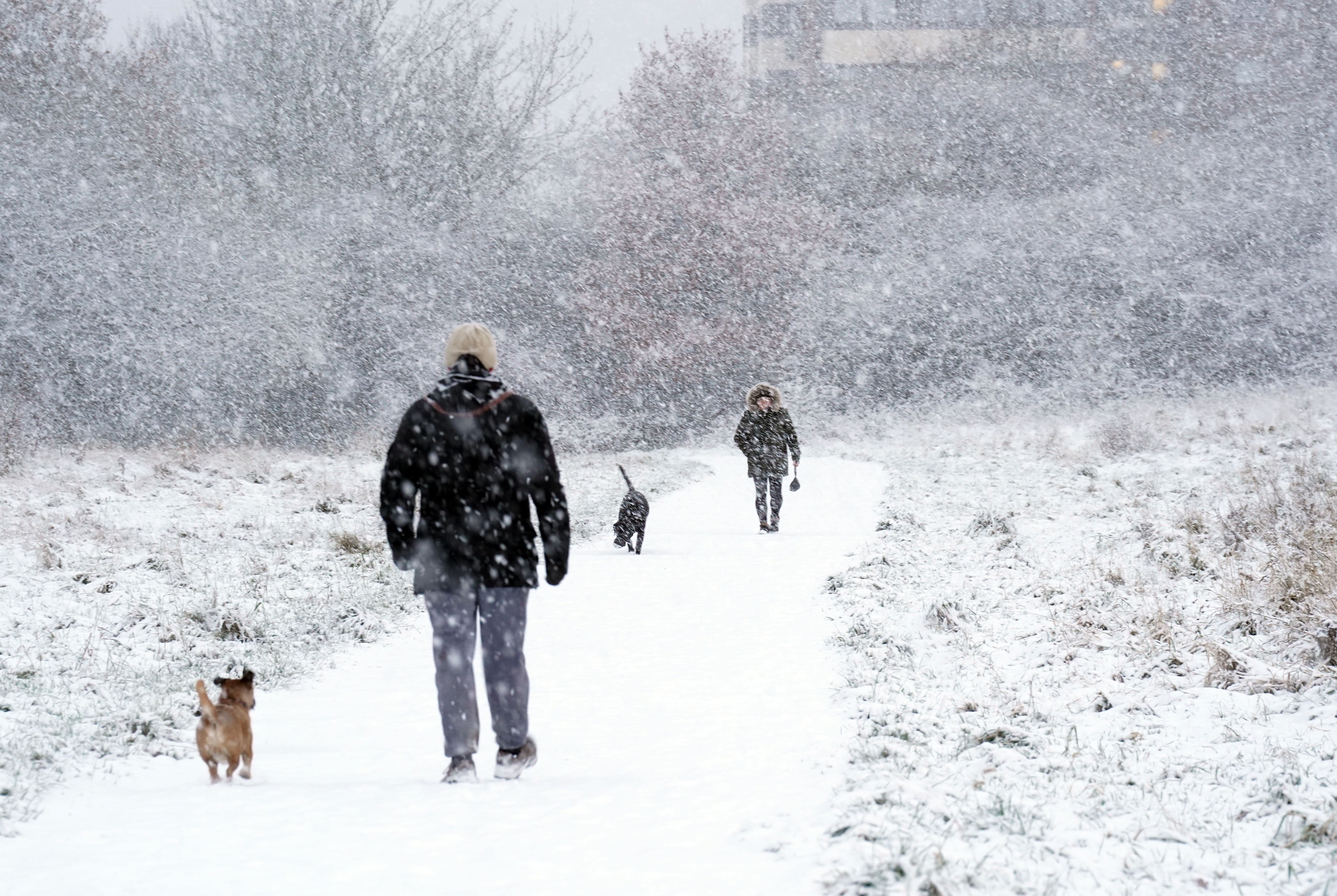
Temperatures are tipped to plunge to as low as minus 11C in parts of the UK over the weekend, with several sporting events cancelled amid snowfall and icy conditions.
The Met Office has predicted that temperatures could plummet to “perhaps as low as minus 10C in parts of Scotland” overnight, with sub-zero conditions widespread elsewhere.
Saturday morning could see minus 11C across parts of Aberdeenshire and minus 8C in rural Wales.
The lowest temperature recorded on Friday was minus 9.4C in Shap in Cumbria, the forecaster said.
The areas that saw most snow on Friday were Aviemore, Invernesshire, 5cm; Albemarle, Northumberland, 2cm; Bingley, West Yorkshire, 2cm and Loftus, Cleveland, 1cm.
“It’s going to be a very cold night tonight, in fact it’s likely to be the coldest night of the week so far,” said Met Office meteorologist Annie Shuttleworth on Friday.
“That’s because much of the country is under clear starry skies. There will be some cloud around in western areas as the showers in the Irish Sea start to push further inland, they could bring some snow to south-western areas of Scotland as well as parts of Cumbria.
“Further east we’ve got this area of mist and fog developing quite widely once again and that fog will be freezing fog, that’s because temperatures are widely dropping below zero.”
She said it will be minus 3C or minus 4C for many towns and cities on Saturday.
“So as a result there are some ice warnings in force for the night and through tomorrow morning across parts of Scotland, north-west England as well as many eastern areas of England as well, that’s where we’ve seen showers through the day that may have caused wet surfaces that could freeze overnight,” she added.
“There’ll also be some snow showers continuing across southwestern Scotland throughout Saturday morning, mainly falling over the high ground above one or 200 metres but there could be some sleetiness (sic) to lower levels across parts of the Lake District, for example, by lunch time.
“Elsewhere though we’ll see the mist and fog slowly clear but it could remain quite murky for a lot of the morning across central and eastern areas.
“The best of the sunshine will be across northern areas of Scotland but further south and west you can see things starting to change a little bit (by Saturday afternoon) with a greater risk of some showers.”
She said as winds shifted to more of a south-westerly it would mean temperatures will slowly rise through Saturday, feeling a little it less cold in the southwest.
“Elsewhere though still feeling bitterly cold, not much above freezing,” she added.
“Those showers in the southwest then do push further inland throughout Saturday night and as they bump into the colder air they could bring some snow to parts of Wales and central areas such as the Peak District. for example.
“There is a little of of uncertainty with that one but it’s only likely to bring a little dusting of snow by Sunday morning.”
Crewe’s match with Bristol Rovers in the second round of the FA Cup on Saturday has been called off and rearranged for December 12, with the playing surface deemed unsafe.
A number of Scottish Professional Football League matches were likewise postponed ahead of the weekend, with Dundee United’s trip to face Morton at Cappielow called off, and the game between Ayr and Arbroath at Somerset Park.
Saturday’s high-profile racing fixture at Newcastle, which was due to stage the return of the Constitution Hill, has been abandoned due to snow on the track.
Met Office chief meteorologist Andy Page added: “A low pressure system will bring less cold, but more unsettled weather for southern parts of the UK on Sunday.
“It will be a cloudier day with some rain, but also a chance of snow at first over the Midlands.
“It will be brighter in the north, but still with a risk of showers in coastal areas.
“Still feeling cold away from the southwest with temperatures once again in low-single figures.”
The UK Health Security Agency and the Met Office have issued amber cold health alerts in five regions: the East Midlands, West Midlands, North West, North East and Yorkshire and the Humber until December 5, meaning “cold weather impacts are likely to be felt across the whole health service for an extended period of time”.