


Heatwave may be on the way for parts of UK this week, forecasters say
Register for free to read more of the latest local news. It's easy and will only take a moment.
A heatwave could be on the horizon for parts of the UK this week, forecasters have suggested.
A warm and pleasant weekend could herald some fine conditions for the first week of meteorological autumn as many schools go back after the summer break.
Met Office meteorologist Jonathan Vautrey said “29C is certainly possible, and we may also climb towards 30C” by midweek as Britons enjoy temperatures not seen since the start of July.
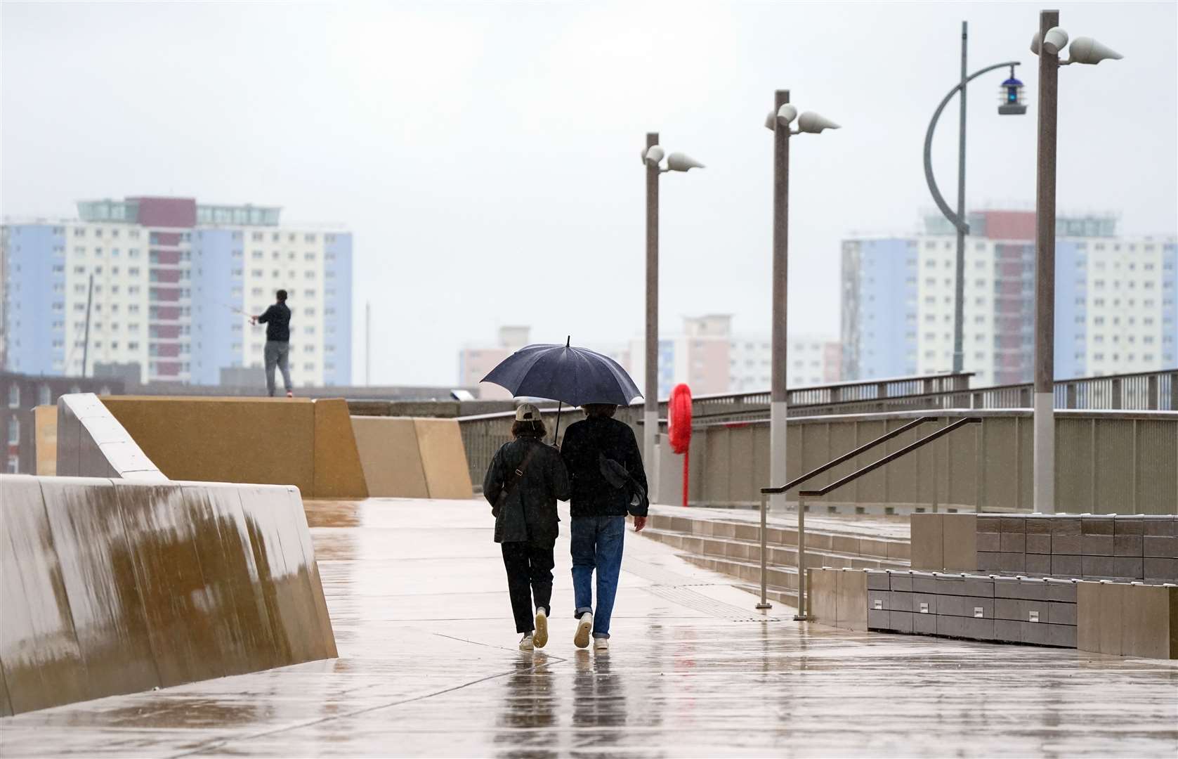
The summery conditions can be tracked to a jet stream, which has been delivering largely unsettled spells of weather to the UK.
It is continuing to shift north, allowing higher pressure to build widely across the UK during the weekend and into next week, according to the Met Office.
There is also the influence of former tropical cyclone Franklin which is still moving into the north Atlantic and amplifying the build-up of high pressure.
Mr Vautrey said: “Finally after two months we have got a weekend where high pressure is going to be in charge.
“It has been building its way in from the Atlantic and it is going to be sticking with the vast majority of us throughout Saturday and Sunday.”
He noted the “exception to that is the very far north of Scotland” where it feels “a bit different compared to elsewhere in the UK”.
Contrasting temperatures on Saturday morning saw Braemar in Scotland reach 0.8C while central London temperatures did not drop below 17.3C in St James’s Park.
This came ahead of a “pleasantly warm day” where temperatures generally ranged from 20C to 24C in most places across the UK.
In Scotland, overnight temperatures into Sunday look set to rise to around 14C in Glasgow or 13C in Aberdeen compared to a chilly 0.8C during the previous night.
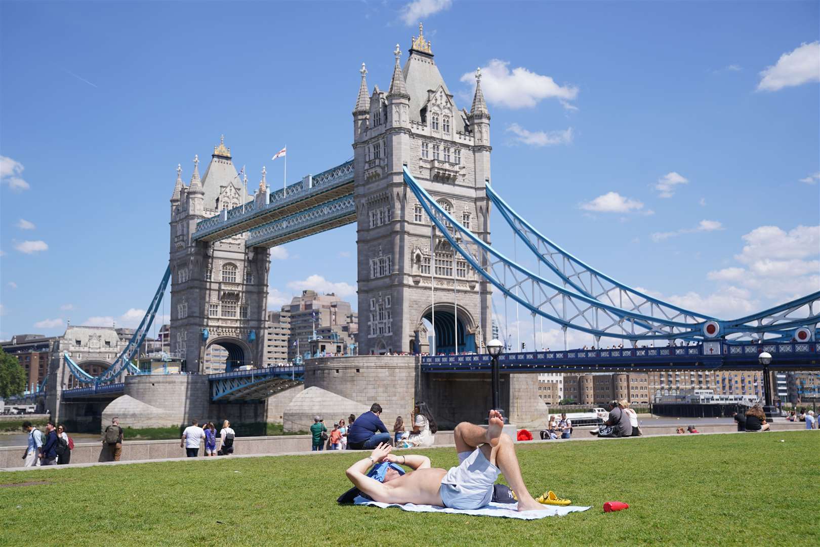
Temperatures of 26C could be felt in places like London and Hull on Sunday, along with 25C in Cardiff and 21C in Belfast. Glasgow could see 20C, and it may reach 23C in Aberdeen.
Mr Vautrey added: “As we head into the new working week, high pressure is going to be staying with us for the vast majority.
“The best and most prolonged amount of sunshine will be further towards the south of the UK, with the cloud just coming and going a touch more across the far north and stretching down into central Scotland and parts of Northern Ireland as well.
“Temperatures will be continuing to climb widely into the mid-20s if not the high 20s by the time we reach Tuesday and Wednesday – 29C is certainly possible and we may also climb towards 30C in a few spots as well, and that is a temperature we haven’t reached since the very start of July.
“We might be into meteorological autumn, but it is giving us something a bit more summery that many of us have been missing.”
The Met Office said that as high pressure becomes established from this weekend, fine and settled conditions will develop and along with this there will be a rise in temperature across most parts of the UK next week.
Met Office deputy chief meteorologist Chris Bulmer previously said: “Many places can expect to see maximum temperatures rise to 25C or above for several days, which would bring some locations into the realm of heatwave conditions.
“Although the highest temperatures are likely to be in the south and east of England, these areas also have higher temperature thresholds for heatwave conditions to be declared.
“So, while some areas may just miss out on the actual definition, regardless of thresholds, many areas will enjoy a fine period of weather with plenty of sunshine and temperatures are likely to be the highest for many since June or early July.”