


Met Office warns of wintry showers across north Caithness coast
Register for free to read more of the latest local news. It's easy and will only take a moment.

The Met Office has issued a Yellow warning for wintry showers across north Caithness today and overnight that will lead to some icy patches and snow cover in places.
Issued at 9.53am the bulletin states: "Wintry showers will affect North Sea coastal districts of England and northern Scotland during Friday evening and overnight.
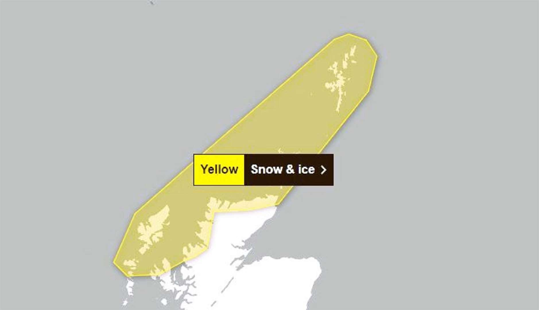
"These are likely to fall onto frozen surfaces in places allowing icy patches to form. Additionally, showers will fall as snow inland, with 1-2cm possible in places, chiefly over hills."
The Met Office shared advice on dealing with these conditions saying: "Snowy, wintry weather can cause delays and make driving conditions dangerous. Keep yourself and others safe by planning your route, giving yourself extra time for your journey.
"Check for road closures or delays to public transport and amend plans if necessary. If driving, make sure you have some essentials in your car in the event of any delays (eg warm clothing, food, water, a blanket, a torch, ice scraper/de-icer, a warning triangle, high visibility vest and an in-car phone charger). Be prepared for weather warnings to change quickly: when a weather warning is issued, the Met Office recommends staying up to date with the weather forecast in your area."
What to expect
- Some roads and railways likely to be affected with longer journey times by road, bus and train services
- Some injuries from slips and falls on icy surfaces
- Probably some icy patches on some untreated roads, pavements and cycle paths