


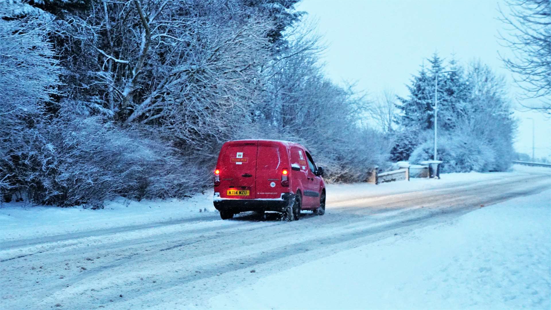
Met Office warns of heavy snow and hail showers for Caithness
Register for free to read more of the latest local news. It's easy and will only take a moment.

The Met Office issued an update to its earlier bulletin to warn of heavy snow and hail showers accumulating along with icy conditions and disruption to transport.
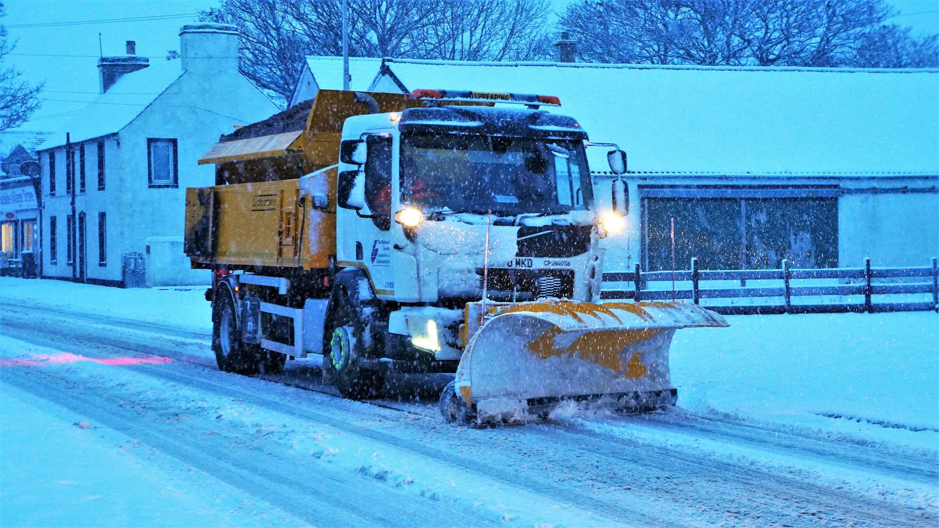
The bulletin issued at 3.50pm states: "Further frequent, heavy snow showers are likely for much of the area through the rest of Monday, much of Tuesday, lasting into Wednesday morning.
"Away from immediate coasts a further 2-5cm of snow is likely, with 10-20cm possible above about 100m. As well as this, a more prolonged period of snow may affect Shetland and Orkney Tuesday morning, before this band of more persistent snow affects other parts of northeast Scotland. As winds increase into Tuesday, some drifting of snow, and temporary blizzard conditions are possible. Ice will be an additional hazard."
What to expect
- Possible travel delays on roads stranding some vehicles and passengers
- Possible delays or cancellations to bus, rail and air travel, with some road closures and longer journey times possible
- Some rural communities could become cut off
- Power cuts may occur and other services, such as mobile phone coverage, may be affected
- A chance of injuries from slips and falls on icy surfaces
- Untreated pavements and cycle paths might be impassable