


It's an 'Ogre from the Arctic', says Wick weather pundit who also predicts hurricane winds for Caithness on Monday
Register for free to read more of the latest local news. It's easy and will only take a moment.

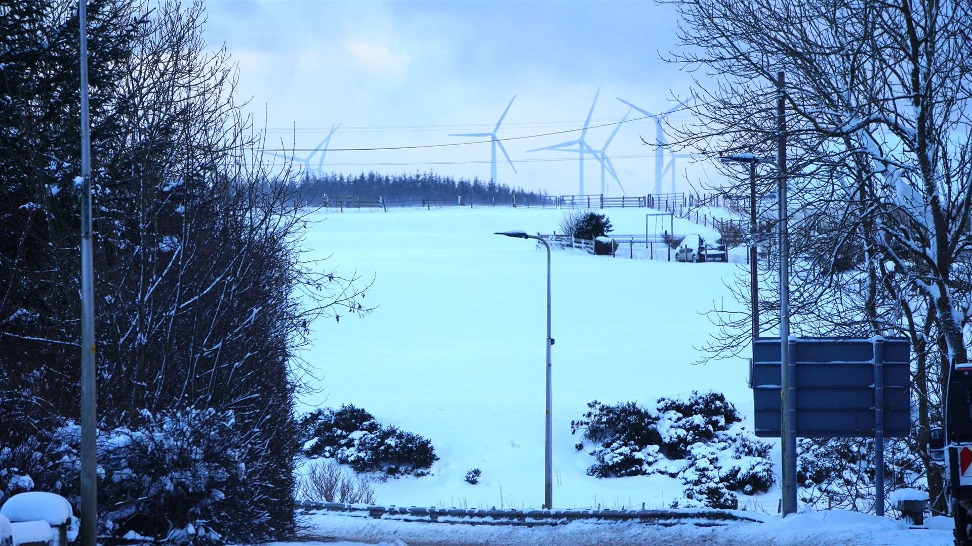
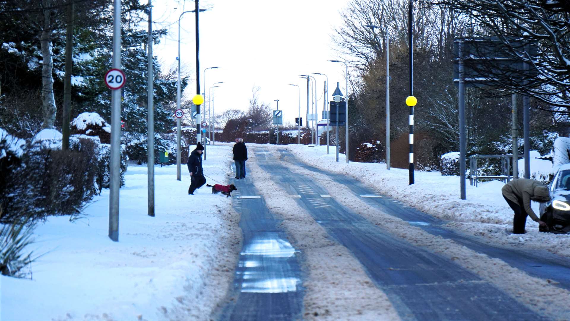
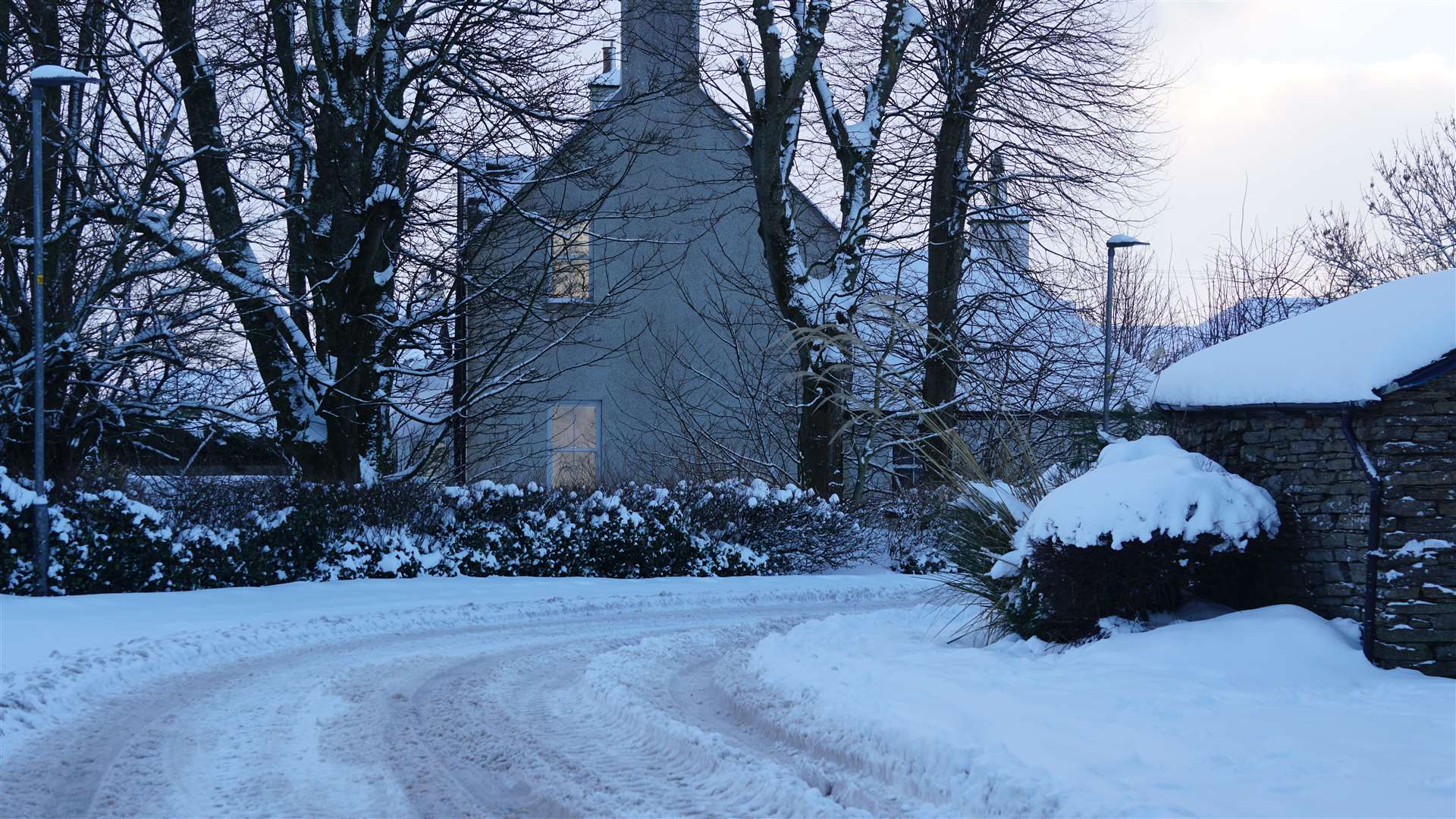
Wick-based weather pundit Keith Banks sent in his report on the current wintry blast across the far north and has dubbed it the "Ogre from the Arctic".
This week has seen Caithness and other parts of the far north firmly in the grip of a cold Arctic airmass, he told the John O'Groat Journal.
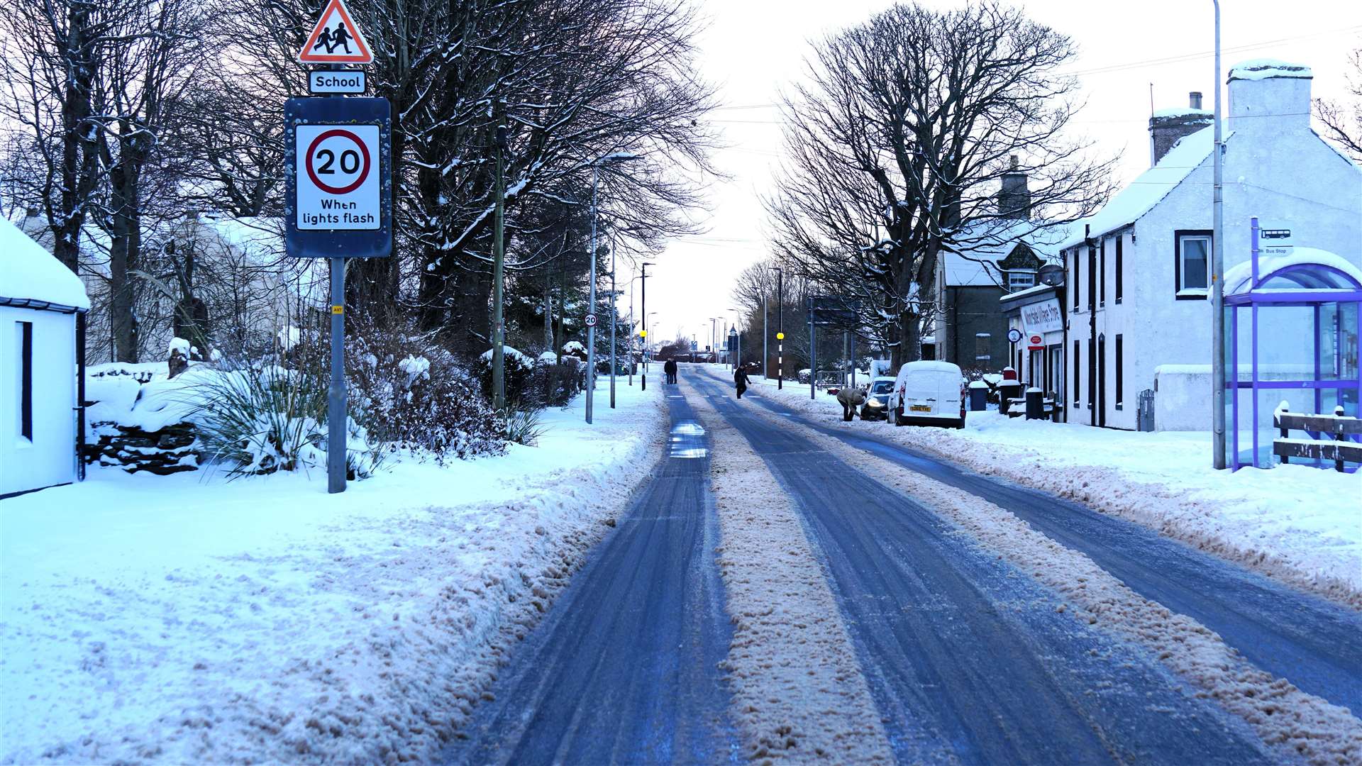
"Air temperatures in Wick have remained below 0C for virtually the whole of this week, climbing – albeit only briefly – to 1.8C early Wednesday evening for the first time since the early hours of Monday," said Keith.
"The lowest air temperature here in Wick was minus 5.2C on the 17th. Today, (Thursday) the temperature in the town was minus 3.5C at dawn. Overnight on Tuesday, the mercury plunged to as low as minus 3.7C.
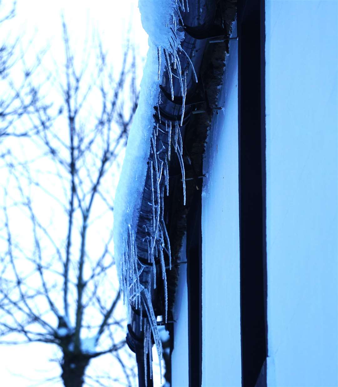
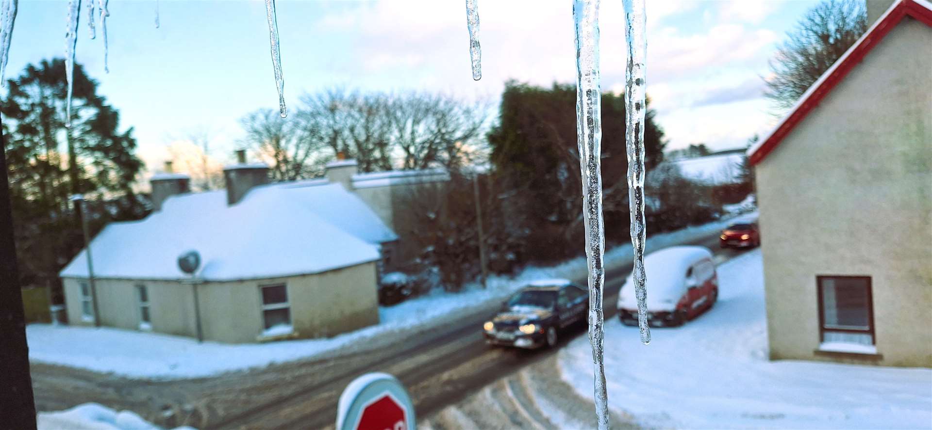
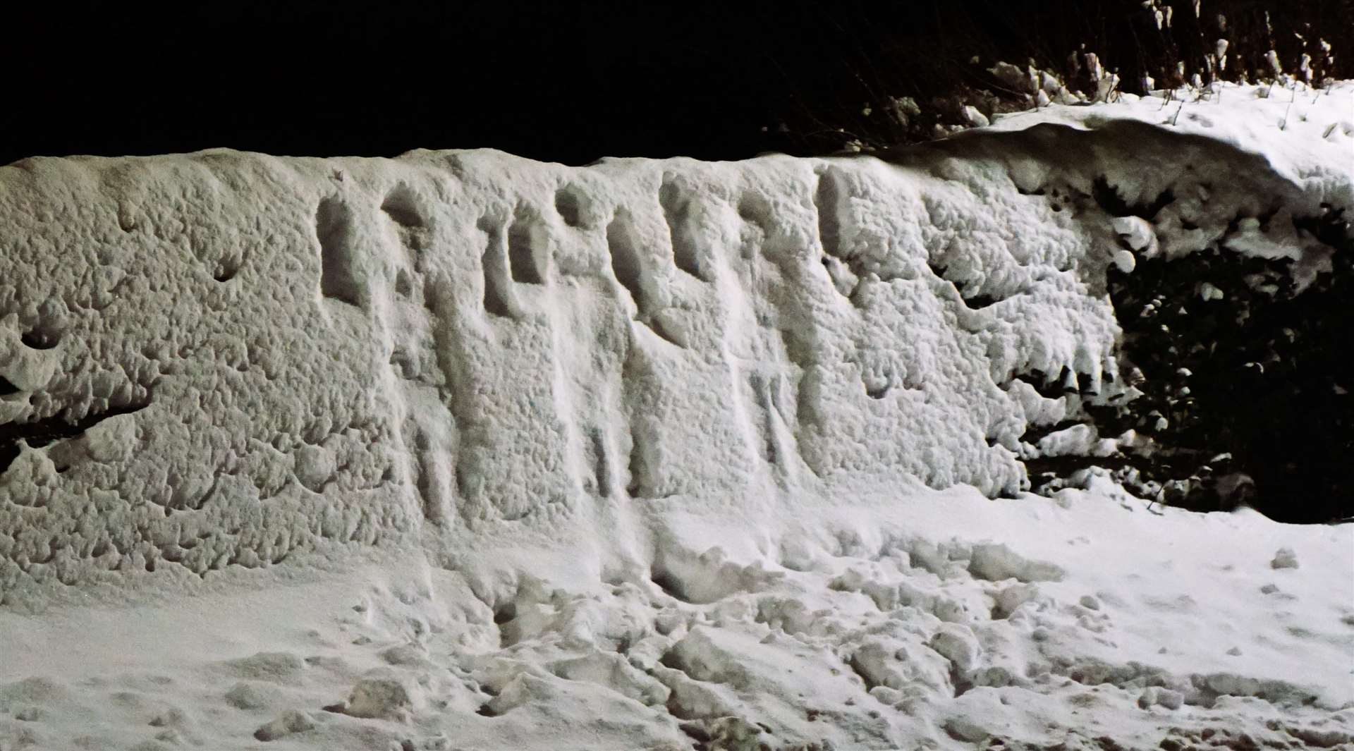
"Frequent showers of snow and graupel [soft, small pellets formed when supercooled water droplets freeze onto a snow crystal – a process called riming] have resulted in significant precipitation accumulations of up to 27cm (10.6 inches) in Wick up to 9am Thursday.
"The current spell of wintry weather has been caused by what meteorologists call a blocked weather regime. High pressure over Greenland, coupled with low pressure over Scandinavia, have created a northerly airflow that has been dragging Arctic air across the region. As this air has travelled across the relatively warm ocean, it has become increasingly unstable; hence the development of the very frequent showers of snow and graupel across exposed regions of Scotland."
Keith says that the "blocked" weather pattern is the culmination of a recent "sudden stratospheric warming" event which has weakened and displaced the 'polar vortex'.
"This rapid warming phenomenon that has occurred in the stratosphere has subsequently disrupted the track and reduced the vigour of the polar front jet stream located in the troposphere that drives the Atlantic depressions towards the British Isles, and thus keeps our weather essentially mild and wet.
"Instead the weakened and distorted Polar Vortex has allowed the cold Arctic airmass, that is normally kept locked up over the North Pole region by a belt or wall of hurricane force westerly winds, to flood southwards across the country.
"The supply of Arctic air will get cut off by early Friday as a ridge of high presume builds in from the west. Thereafter a rapid transition to 'Atlantic weather' will occur.
"Indeed, the latest forecast models that I have assessed indicates the advent of an exponentially reinvigorated polar front front jet stream arriving south of Newfoundland and then extending across the NE Atlantic by Sunday.
"If this happens there is the real potential for a explosive cyclogenesis event to occur at the 'left exit' of the jet stream. This could cause the genesis of a major 'weather bomb' that may bring a spell of extremely violent westerly gales that are likely to gust in excess of hurricane force 12 across Caithness on Monday. This storm will be named storm Isha."