


High winds are expected around east Sutherland
Register for free to read more of the latest local news. It's easy and will only take a moment.

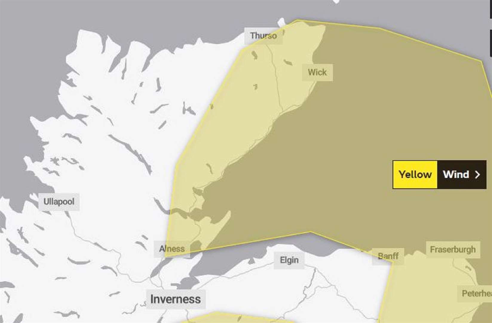
The Met Office has extended a Yellow Warning of wind north into Sutherland and Caithness it announced this morning.
The updated bulletin says it is likely that some coastal routes, sea fronts and coastal communities will be affected by spray and/or large waves
It states: "Windy conditions developing over western UK early on Tuesday morning will soon spread eastwards across the warning area bringing gales, severe over coastal areas, for a time. Wind in many areas will start to ease during Tuesday evening.
"Inland, gusts of 45-50 mph are widely expected with coastal areas likely to see gusts of 55-65 mph, especially along North Sea coasts during the evening. In addition to wind, showers and longer spells of rain, as well as hill snow in the north, will make for unpleasant and difficult travel conditions."
Expect:
- Some delays to road, rail, air and ferry transport are likely.
- Probably some bus and train services affected, with some journeys taking longer.
- Delays for high-sided vehicles on exposed routes and bridges likely and some damage to trees possible.
- Some short term loss of power and other services is possible.
Highland Council issued a road report for Sutherland this morning at 8.29am.
It stated: "There are icy roads across the county this morning and all routes are being treated according to policy including footpaths."
Get alerts of closures on Highland Council’s Twitter and Facebook. Or phone 0800 564 2272 to get the latest pre-recorded message from head teachers regarding school closures. Have the school's PIN ready when you call.
Met Office updates can be found at: www.metoffice.gov.uk/weather/warnings-and-advice/uk-warnings