


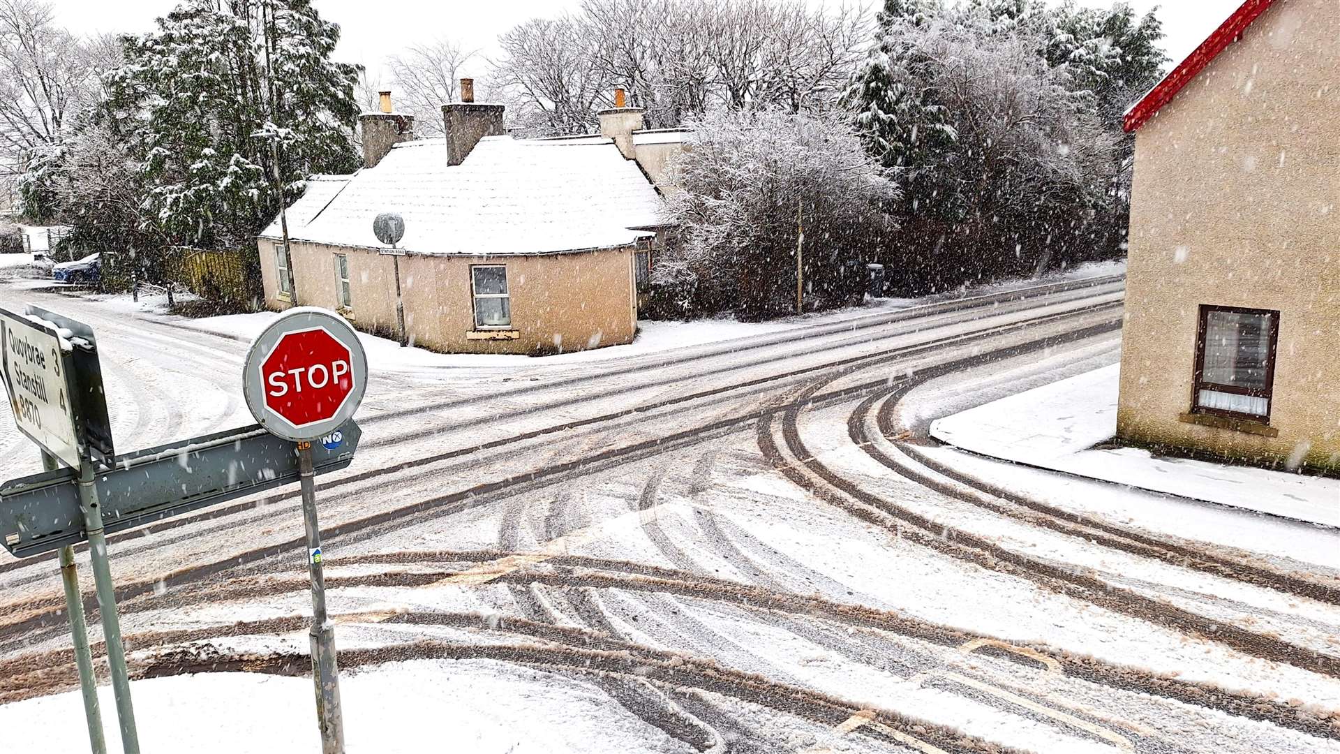
Heavy rain and snow may result in some disruption tomorrow (December 27)
Register for free to read more of the latest local news. It's easy and will only take a moment.

The Met Office warns of heavy rain and hill snow moving across parts of Caithness on Wednesday, December 27.
The bulletin was posted on December 25 at 11.07am and states that at low elevations (roughly below 200 metres) there will likely be rain, with 20-30 mm developing quite widely across the warning area, with a risk of 50-70mm in some locations.
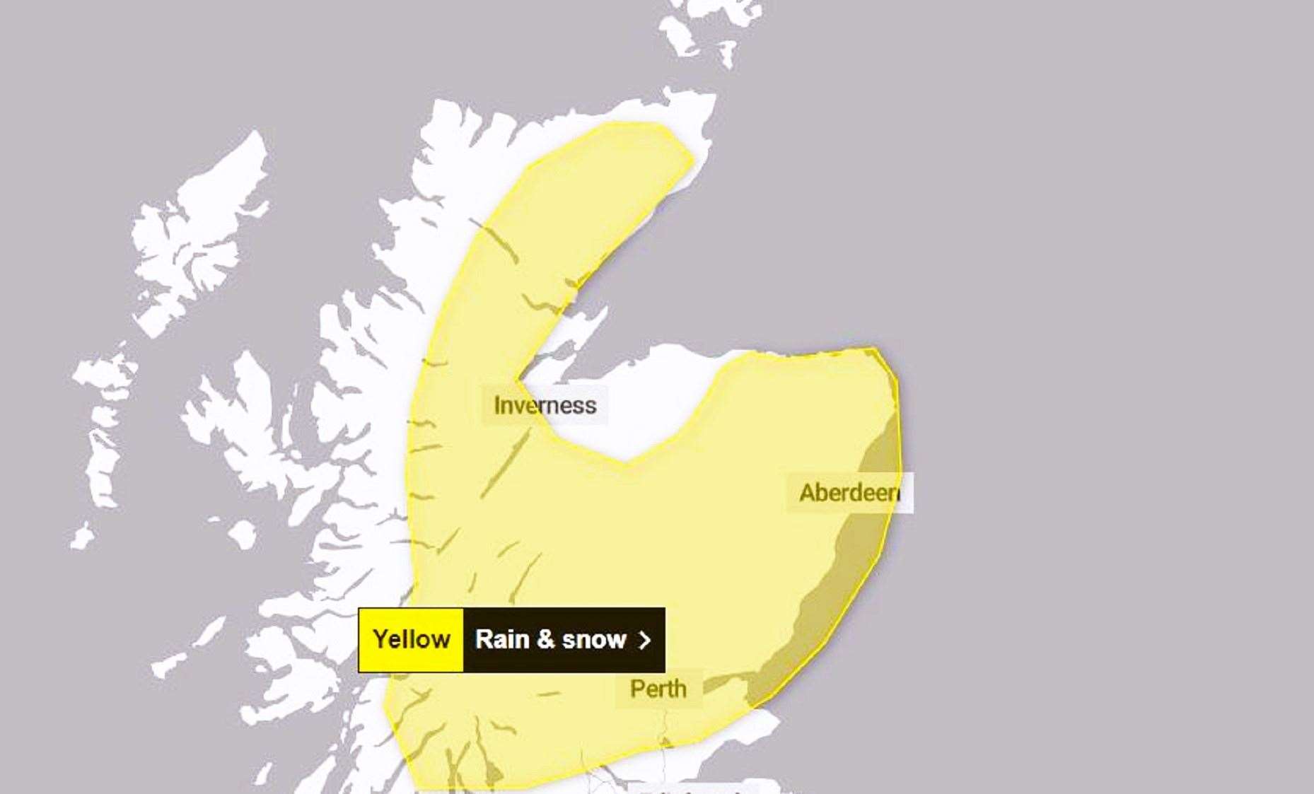
It continues: "At higher elevations (roughly above 200 metres) snow is expected, with 10-15cm likely to accumulate, particularly on southeast-facing hills and will affect some higher transport routes. Very strong south-easterly winds will accompany the rain and snow and exacerbate any impacts."
Advice:
Check if your property could be at risk of flooding. If so, consider preparing a flood plan and an emergency flood kit.
Give yourself the best chance of avoiding delays by checking road conditions if driving, or bus and train timetables, amending your travel plans if necessary.
Snowy, wintry weather can cause delays and make driving conditions dangerous, so to keep yourself and others safe:
- Plan your route, checking for delays and road closures, amending your travel plans if necessary
- If driving, leave more time to prepare and check your car before setting off
- Make sure you have essentials packed in your car in the event of any delays (e.g., warm clothing, food, water, a blanket, a torch, ice scraper/de-icer, a warning triangle, high visibility vest and an in-car phone charger).
People cope better when they have prepared in advance for the risk of power cuts or being cut off from services and amenities due to the snow. It’s easy to do; consider gathering torches and batteries, a mobile phone power pack and other essential items. Be prepared for weather warnings to change quickly: when a weather warning is issued, the Met Office recommends staying up to date with the weather forecast in your area.
What to expect:
- Spray and flooding could lead to difficult driving conditions and some road closures
- There is a small chance that homes and businesses could be flooded, causing damage to some buildings
- There is a small chance of travel delays on roads with some stranded vehicles and passengers, along with delayed or cancelled rail and air travel
- There is a slight chance that some rural communities could become cut off
- There is a small chance that power cuts will occur and other services, such as mobile phone coverage, may be affected