


Frequent snow showers expected over next couple of days
Register for free to read more of the latest local news. It's easy and will only take a moment.

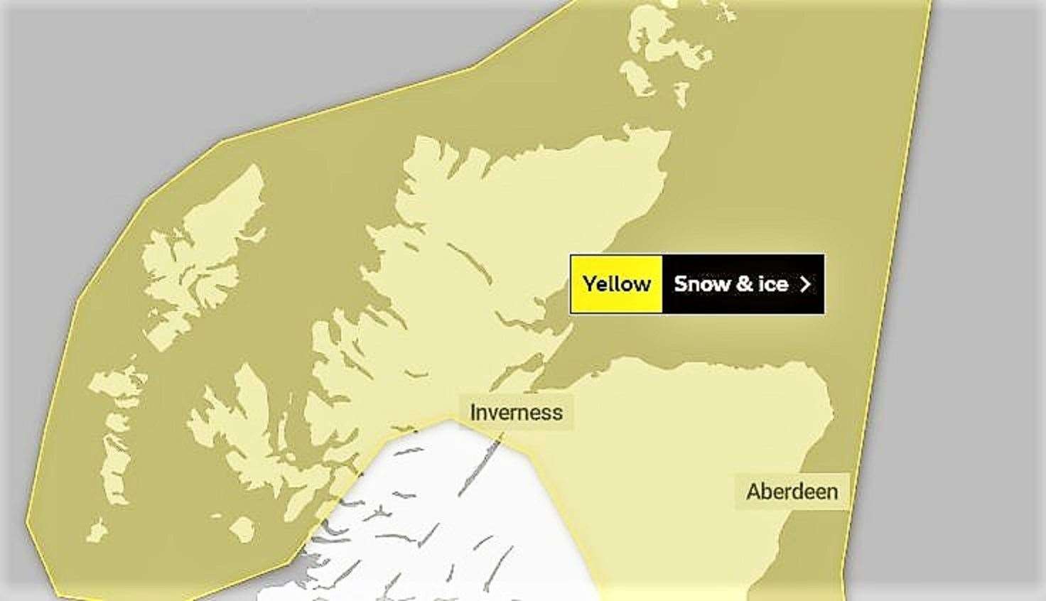
The Met Office warns that frequent snow showers are expected to cause some disruption across Caithness across the next few days.
The Yellow Warning states that "cold, blustery northerly winds will continue to drive frequent showers of snow and hail" into Caithness on Tuesday.
Today's bulletin, issued at 8:42am, says: "The highest accumulations [of snow] are likely again over the high ground of northern Scotland, where another 5-10cm are possible by the end of the day. "Accumulations at lower levels are most likely Tuesday early hours where 2-5cm could accumulate locally. During Tuesday night, showers will then tend to become increasingly confined to northern Scotland. "Icy stretches are likely, especially on untreated surfaces, particularly during hours of darkness."
The warning extends into Wednesday.
What to expect
- There is a small chance of travel delays on roads with some stranded vehicles and passengers, along with delayed or cancelled rail and air travel
- There is a slight chance that some rural communities could become cut off
- A small chance of injuries from slips and falls on icy surfaces
- There is a small chance that power cuts will occur and other services, such as mobile phone coverage, may be affected