


Classic hoarfrost conditions as temperature plummets
Register for free to read more of the latest local news. It's easy and will only take a moment.

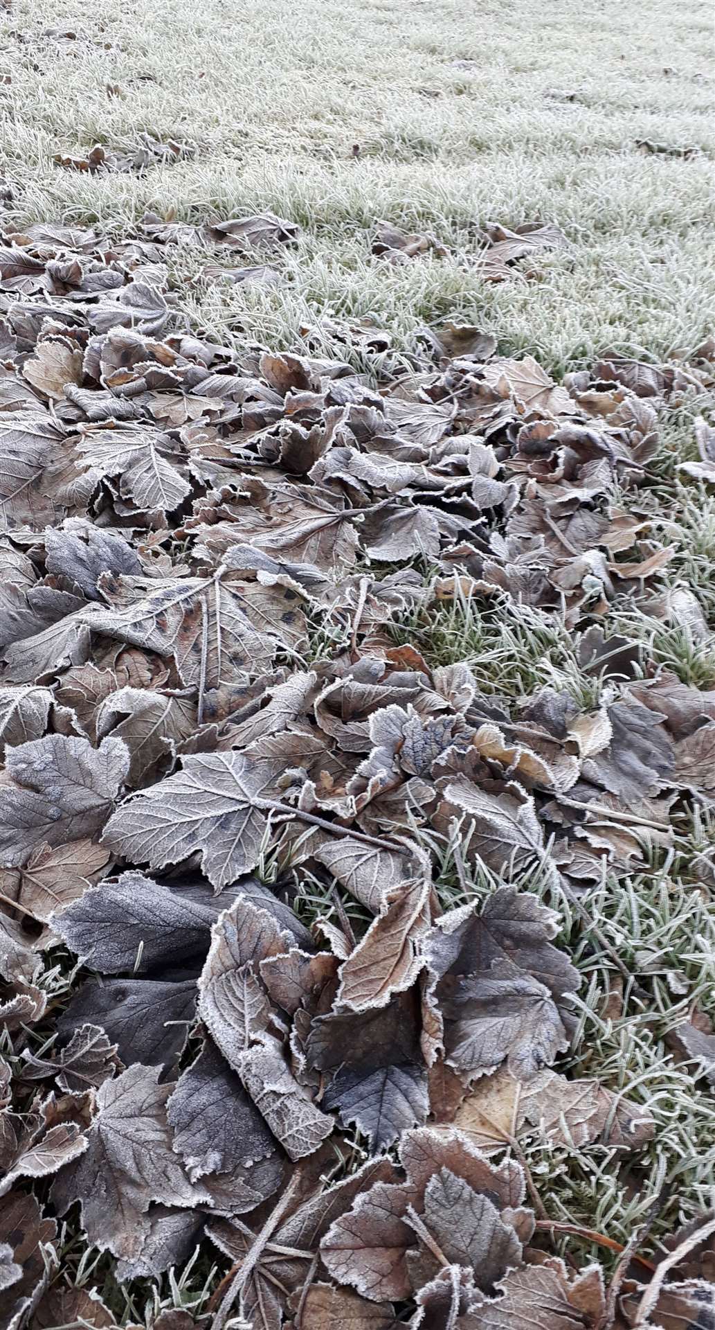
Monday has been one of the coldest days experienced in the Wick area this winter, according to local weather watcher Keith Banks.
The mercury bottomed out at minus 1.7C (28.9F) in the town during the morning. The corresponding temperature over the grass was minus 5C (23F).
"A slack area of low pressure over the British Isles has allowed a cold Arctic air mass to stagnate over the far north of Scotland," Keith said.
"This air mass contains quite a lot moisture. Clear skies, coupled with the calm conditions that we had overnight, readily facilitated the development of a classic hoarfrost.
"In brief, the physical process that causes this phenomenon is called deposition or desublimation. Crucially, for this process to occur, the temperature of the damp air must fall below 0C (32F) before the air becomes saturated.
"When delicate ice crystals begin to appear on exposed freezing surfaces, the air temperature has reached what meteorologist call its 'frost point'. Supercooled water vapour is then deposited directly onto lawns, vehicles, and other freezing surfaces that are exposed to the night sky, without passing through the condensation phase in the cooling process.
"Frost point temperature is always higher than the dew point temperature for any sample of air. The resulting deposit of soft ice crystals is known as a hoarfrost."