


A9 closed by flooding amid Storm Babet deluge in northern Highlands
Register for free to read more of the latest local news. It's easy and will only take a moment.

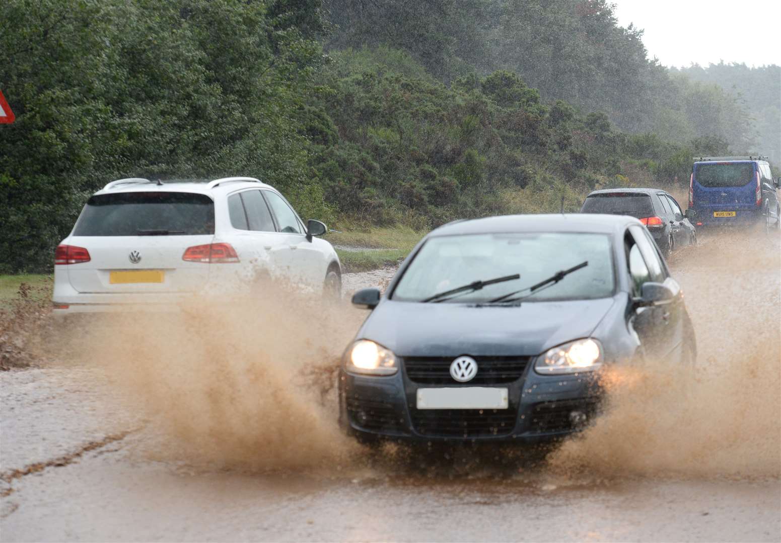
Dangerous driving conditions sparked the closure of the A9 in Easter Ross on Saturday morning after localised flooding left the carriageway completely submerged in one spot.
The road was also reduced to one lane in a number of other locations due to deep pools of water on the road side.
And in other locations water run-off from fields was cascading like streams from one side of the carriageway to the other – increasing risks of aquaplaning.
Confirming the road was closed between Alness and Tomich, Traffic Scotland said: "A9 between Tomich and Alness is now closed️ due to flooding.
"Police are in attendance and vehicles have now become stuck in standing water."
Related: All Highland League games OFF for safety reasons as Storm Babet severe weather alerts continue
Roads are also treacherous elsewhere in the region, with motorists being advised of strong winds at the likes of the Kessock Bridge, and the Dornoch Bridge closed to high-sided vehicles at the time of writing.
The heavy overnight rains - which prompted an amber warning from the Met Office which will remain in place until midnight tonight - also sparked a couple of fresh flood warnings in Sutherland glens.
A flood warning was issued for Strath Oykel at 7.45am, and another for Strath Carron at 7.52am.
The Strath Oykel warning extends from an area north-west of Oykel Bridge and downstream to Invercassley.
A Sepa spokesman said: "Agricultural land in Strath Oykel, from Oykel Bridge to Inveroykel Bailey Bridge and at Invercassley, is at risk of flooding.
"Inveroykel Bailey Bridge may be inaccessible. For information, the river level at Easter Turnaig gauging station exceeded 1.6m at 05:30 am BST. The river level is still rising and rainfall is expected to continue throughout the day."
The Strath Carron warning meanwhile, runs from Amatnatua and downhill until the River Carron meets the Kyle of Sutherland opposite Bonar Bridge.
The spokesman added: "Agricultural land and the roads in Strathcarron are at risk of flooding. River levels are rising quickly and rain is expected to continue throughout the day."