


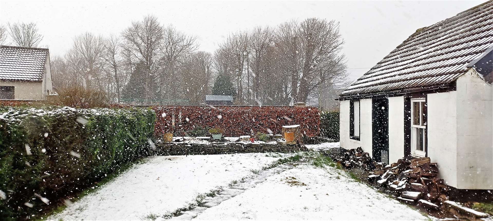
Sun duration measured as snow hits Wick
Register for free to read more of the latest local news. It's easy and will only take a moment.

Weather Watch by Keith Banks
Most official weather stations measure daily sun duration.
A glass sphere called a Campbell-Stokes sunshine recorder is extensively employed. It is held in position in a metal frame with card beneath. Rays entering the sphere are focused on the card, burning a trace to provide a visible sunshine record.
Alternatively a blackened bulb with mercury and air is used. A glass tube dips into the mercury, sealed off in the bulb. When the sun shines, the air expands, pushing the mercury along the tube.
The length of time that the current flows is recorded, and this provides a record of the sunshine received.
Analysis of Wick’s historic record for mean air temperature revealed February 2022 was the mildest since that of 2020. It is currently the 51st most mild in a series commencing from 1910.
In terms of precipitation, February 2022 was the wettest since that of 2014, and is presently the 20th most wet since 1910.
February 2022 experienced one “day of gale” by definition.
Winter 2021/22 was Wick’s mildest since that of 2019/20. Mean air temperature was 4.79C (40.62F). The town’s mean air temperature for winter, in terms of the averaging period 1991-2020, is 4.11C (39.40F).
Winter 2021/22 was Wick’s driest since that of 2019/20. The precipitation total was 170.8mm (6.72 inches). The long term average quantity, for winter, is currently 205.45mm (8.09 inches).
Wick’s mean air temperature for February was 3.98C (39.16F). The long term average for February, in terms of the averaging period 1991-2020 is 4.06C (39.31F).
Wick’s average maximum daytime air temperature for February was 6.31C (43.36F). The current long term average value for this parameter, for February is 6.72C (44.10F).
Highest maximum was 9.7C (49.5F), recorded on February 3. Lowest maximum was 2.2C (39.0F), witnessed on February 4.
Wick’s average overnight minimum air temperature for February was 1.64C (34.95F).
The long term average for February is presently 1.39C (34.50F). Highest overnight air minimum was 7.0C (44.6F), logged on February 3 and 27 respectively.
There were seven air frosts. The lowest ambient temperature was minus 2.5C (27.5F), observed on February 11.
The temperature fell to (0.0C) (32.0F), or lower, at 5cm over the grass on 19 dates. Lowest temperature recorded over the grass was minus 7.0C (19.4F), on February 11.
Precipitation was measurable on 26 dates. The total for the month was 77.8mm (3.06 inches), or 124.2 per cent of the long term average for February.
Wettest day was February 19. The amount for the 24 hours commencing 9am (GMT) was 10.0mm (0.39 of an inch). Snow was visible over the grass at dawn on three dates. On February 6 and 19 the depth at dawn was two cm (0.79 of an inch). Snowfall was also recorded on February 4, 9, 10 and 20.
There was one “day of gale” but wind velocities reached or surpassed gale force 8, (39.0mph/33.9knots), on 19 dates.
The strongest wind velocity was observed during the half hour ending 13.50 (GMT) on February 1, when a gale force 8 west-north-westerly wind gusted up to 63mph/54.8knots, and storm force 10 on the Beaufort scale.