


New Covid map shows number of coronavirus cases in Caithness areas
Register for free to read more of the latest local news. It's easy and will only take a moment.

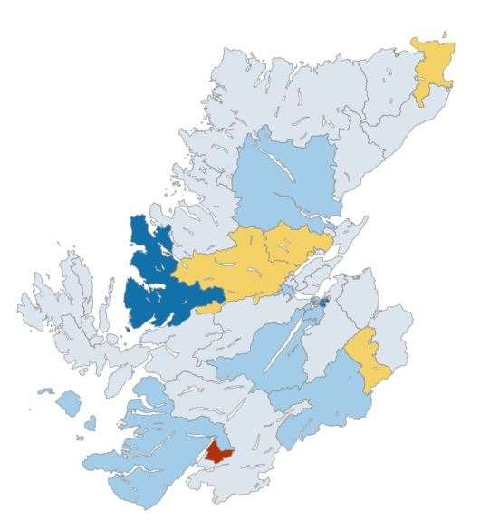
The number of confirmed cases of coronavirus in different areas of the Highlands has been made available for the first time.
Public Health Scotland’s interactive dashboard now provides a map showing the number of cases in local areas, as well as trends for local authorities and NHS boards.
Caithness is split into three areas – Caithness North East, Caithness North West and Caithness South – with the number of cases reported over the last seven days highlighted.
The map is also colour-coded with number of cases per 100,000 of population and can be seen for different weeks during the pandemic.
At present, the map shows that there has been between one and four positive tests in Caithness North East over the last seven-day period, which ended on September 30. When there are fewer than five positive cases in an area, the actual number is not provided "to protect patient confidentiality".