Narrow field of vision encompasses lives lost from the land
Register for free to read more of the latest local news. It's easy and will only take a moment.

OUT AND ABOUT WITH RALPH: An abandoned croft house, an ancient chapel and fields of grazing cattle as Ralph looks forward to exploring again in 2022
Like many this festive season I’ve not been able to go far. Now I promise that I’ll retire from ‘Out and About’ before all my pieces degenerate into reminiscences by an old man and tales of pottering round Thurso Mall, so this armchair excursion is an exception!
I sit in a reclining chair by the log-burning stove with a coffee and a mince pie waiting for my latest lateral flow test result. Extend your arm, put your thumb up and look at it. Everything I now describe is within a field of view no more than double the width of that thumb, and seen from where I’m sitting.
Outside the window, the local flock of garden birds has descended on the bird-table, mostly sparrows but also blackbirds, tits, a chaffinch and a robin. Just beyond is the Caithness flag fence and beyond that, a flock of sheep grazing the field, with a couple of tups.
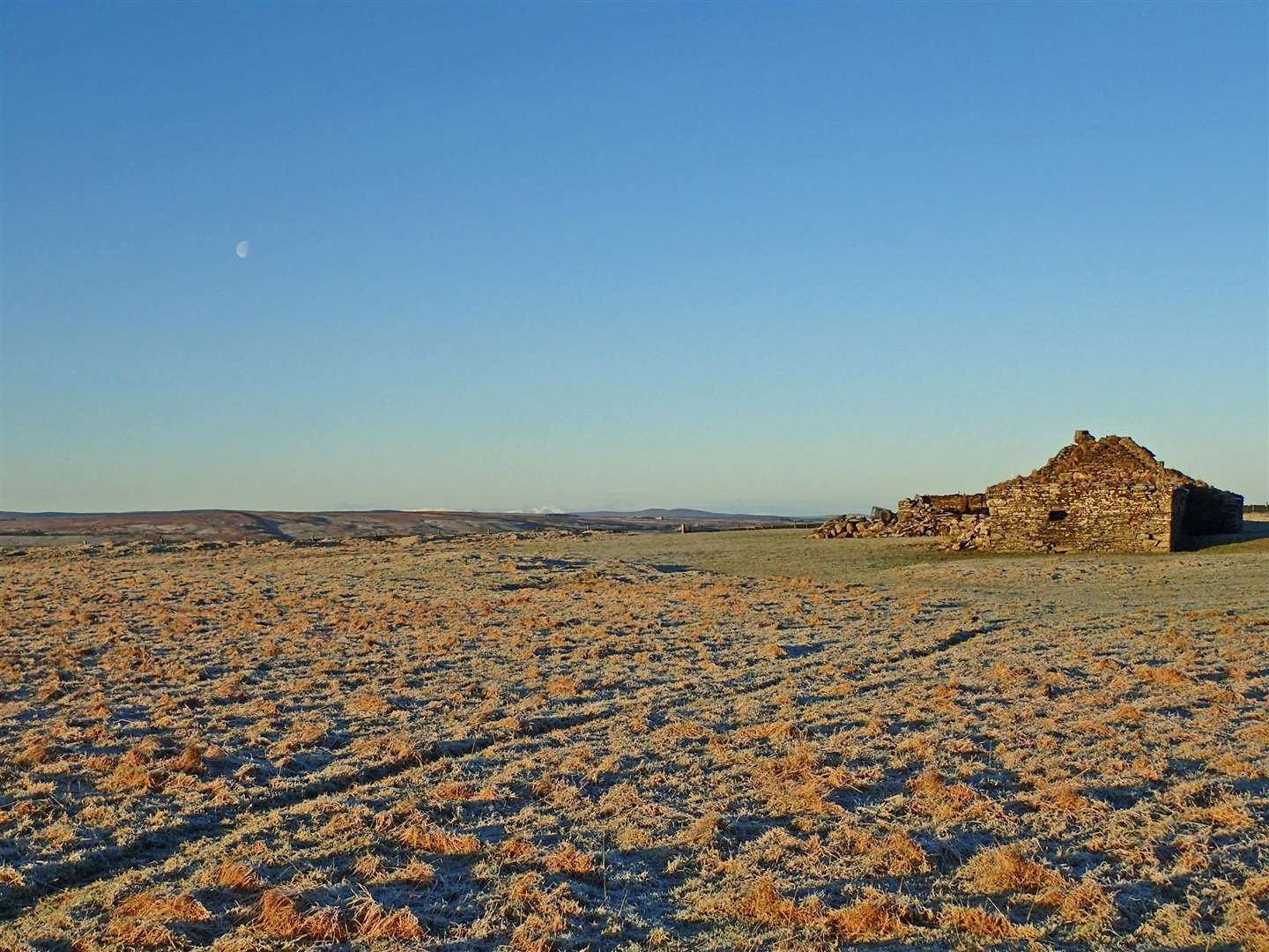
Several more fields of wintry yellow-green stretch out, delineated by drystane dykes, leading the eye to an old croft house about half a mile away, isolated and empty now for at least 50 years. Cattle graze around for most of the year, the doors and windows have gone, pigeons roost. It’s too far from the road.

There are more fields and walls, dotted in places with grazing cattle or sheep and the occasional old gable-end, before the ground dips to the hidden river valley. The next thing the eye picks up is the farmland across the river, rising to the Halkirk-Thurso road, distant drystane dykes converging towards a far horizon point in a fine illustration of perspective.
The steading at Skinnet is prominent with the moving dot of a car travelling north towards Glengolly. A track leads down from the farm and I can see a couple of small clumps of trees marking the site of the 12th-century St Thomas Chapel – there is little there now but tumbled stones.
Across the road, rough grazing with dark clumps of gorse rises to another low skyline. Just beyond, something moving catches the sun. Now the eye has jumped across hidden Loch Calder to the forestry plantations on the far side, a timber harvester is at work, cutting and clearing windblown and standing trees, stripping branches, cutting into lengths and stacking logs for collection. An entire tree can be processed in less than a minute.
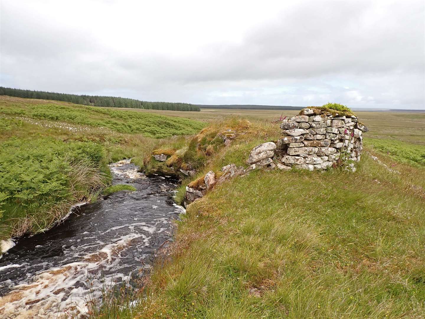
The low light is good and beyond the dark spruce can be seen another ridge crest under the higher moors. We’ve leapt beyond Broubster and the river Forss, to Achforsiescye. Here, a burn divides, tumbling down twin rocky slides in between which sit the walls of an old longhouse with a round kiln-end once used for drying grain. Maybe there was a tiny mill. The remains of several dwellings can be seen if you visit.
Now, this spot where generations lived, loved, gave birth and died is forgotten and inaccessible, surrounded by bogs – the only relatively easy approach is from Shurrery Lodge. But you can see it 10 miles away from where I sit.
Hidden in a dip beyond Achforsiescye is Loch Scye with its little island, small sandy beach and fishing huts, then the land rises to the last skyline. I sometimes wonder if anybody other than myself or the Shurrery keeper ever visits the two moorland tops of Beinn Nam Bad, both fine flow country hills and an easy walk from Shurrery.
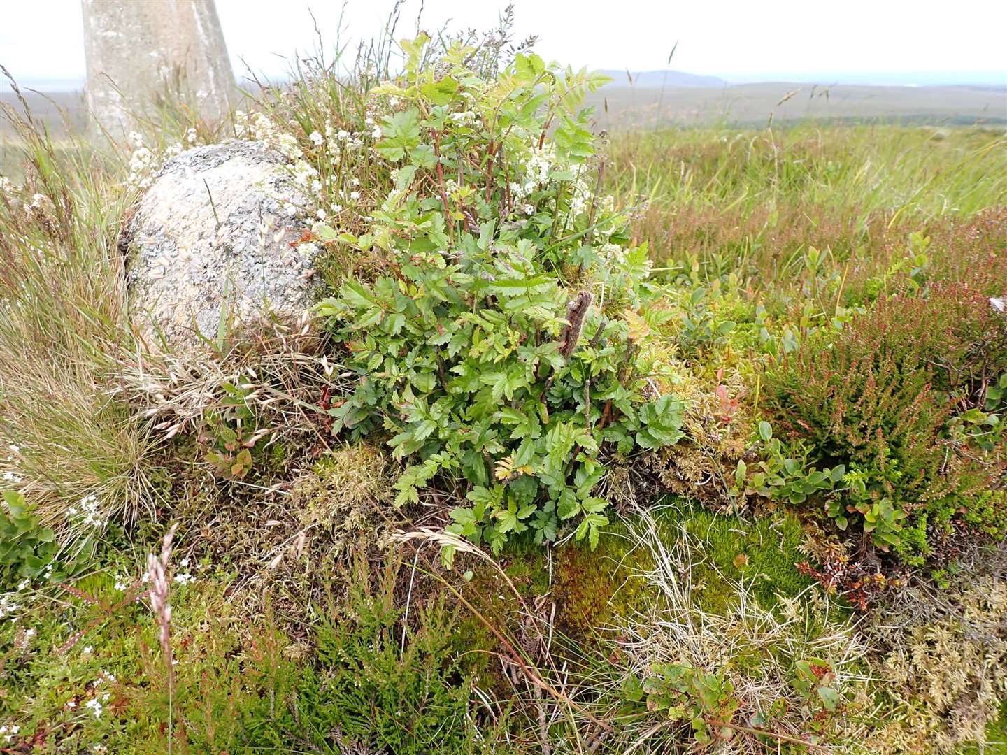
The little top of Beinn nam Bad Beag is consecrated, with memorial stones to members of the Black family. The higher top of Beinn Nam Bad Mor on a wind-blasted moor has a triangulation point and a tiny bonsai rowan tree. Steep slopes down to the loch are whitened from the last hail-shower. A good track continues round the side of the hill to Tuim Ghlais, one of the finest flow country lochs of all.
Everything so far has been within that narrow ‘two-thumb’ field of view. But go just a little outside it to the south, and a double hump rises above the lower slopes of Dorrery.
These are the twin Griams, just under 2000 feet high, always such enticing hills seen from the passing train, evoking thoughts of freedom when stuck on a very long journey. The summits are bare and stony, the slopes deep heather, the views stretch over wild and remote landscapes. On the very summit of Griam Beg is a huge ancient hill-fort, the climate was obviously warmer and less stormy in the past.
It won’t be too long before I visit these places for real again!