


Mirages are no trick of the eye
Register for free to read more of the latest local news. It's easy and will only take a moment.

Weather Watch by Keith Banks
Images of distant objects are always displaced from their actual positions, because light bends gradually when travelling through layers of air of different densities.
The physical process responsible for this is called refraction. Mirages are not hallucinations or illusions, they are optical manifestations of this physical process.
There are two types of mirage, inferior and superior. An inferior mirage is seen below the real object, when light enters a hot layer of low density air. Inferior mirages, are associated with hot deserts, but they can be seen frequently in the British Isles, over any extensive flat surface that has a temperature greater than the air above it.
Beaches, roads and airfield runways are locations where inferior mirages are commonly witnessed in Caithness.
A superior mirage is an image that is observed above the real object. These types occur over extensive flat land, or sea surfaces that are much colder than the air above, and where a temperature inversion exists.
An inversion is a layer of air in the atmosphere where the temperature increases with altitude. When these conditions arise, the light from an object near the horizon bends downwards as it travels through the layers of very cold, dense air, before it reaches the eye.
Those conditions can make an object appear above its actual position, and objects that are below the horizon can be brought into view, and appear to be floating in the sky.
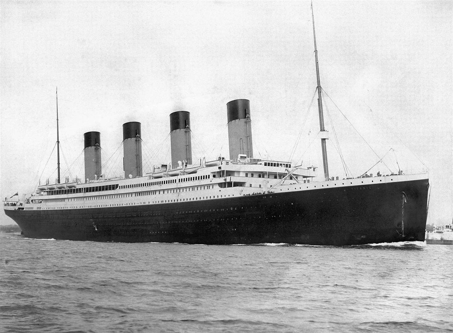
In a historical context, research has revealed that on the night of April 14/15, 1912, exceptionally high atmospheric pressure associated with an intense anticyclone, where the warm waters of the Gulf Stream met the bitterly cold waters of the Labrador Current, created a superior mirage.
An optical event, known as super refraction, obscured the view of many large icebergs and ice growlers that were present in an extensive ice field. It is reasonable to postulate that the very unusual weather conditions played a part in the fateful chain of events that resulted in the RMS Titanic disaster.
Closer to home, June 2021 was Wick's warmest since that of 2017. Closer scrutiny of the burgh's historic record for mean air temperature for June, confirmed that it is presently the sixth most warm in a series stretching back to 1910.
Wick's precipitation record for June 2021 revealed that it was the driest since that of 2018, and that it is currently the 19th least wet in a series commencing from 1910.
Wick's mean air temperature for June 2021 was 12.21C (53.98F). The long-term average, in terms of the averaging period 1981-2010 is 10.95C (51.71F).
Wick's average maximum daytime air temperature for June 2021 was 15.61C (60.10F). The long-term average for June, in terms of the value for this parameter, for the current 30-year averaging period is 14.0C (57.2F). Highest maximum was 21.5C (70.7F), recorded on June 13. Maximums of 20.0C (68.0F) & 21.1F(70.0F), observed on June 4 and 10 respectively, were also notably warm temperatures for the town.
Lowest daytime maximum for the month was 11.7C (53.1F), noted on June 25.
The town's average overnight minimum air temperature for June 2021, was 8.81C (47.86F). The long-term average for June is currently 7.90C (46.22F). The highest overnight minimum was 13.2C (55.8F), recorded on June 11. Lowest ambient temperature for the month was 2.4C (36.3F), noted on June 22.
The lowest temperature noted at 5cm above the grass was 0.6C (33.1F), on June 22.
Precipitation was measurable on 25 dates. The total for the June 2021 was 24.4mm (0.96 of an inch), or 45.7 per cent of the long-term average for June. Wettest day was June 24. The amount recorded for the 24 hours commencing 9am (GMT), was 6.6mm (0.26 of an inch).
There were no "days of gale" experienced during the month. Wind velocities reached or exceeded gale force 8 (39mph/33.9knots) on two dates.
The strongest wind velocity was witnessed during the hour ending 10am (GMT) on June 14, when a force 6 west-south-westerly wind gusted up to 40.3mph/35.0knots, gale force 8 on the Beaufort scale.