


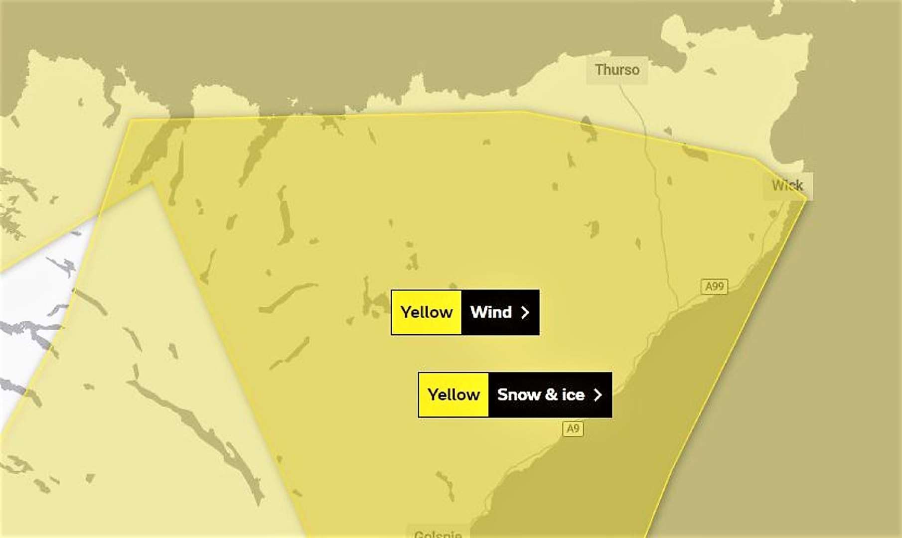
Met Office update for Caithness – strong winds along with snow and ice
Register for free to read more of the latest local news. It's easy and will only take a moment.

The Met Office updated its Yellow Warnings for the far north to include strong winds along with snow and ice affecting Caithness.
An area of strong north or northwesterly winds is expected to strengthen during Tuesday morning bringing gusts of 60-70mph to exposed coastal parts of northern Scotland. A brief period of gusts of 75-80mph is possible for Orkney and Caithness around lunchtime on Tuesday. The winds will then gradually ease from the northwest during the late afternoon and into the evening. The strong winds will also drive frequent wintry showers across these areas and whilst accumulations are likely to be small the showers will exacerbate difficult conditions.
Showers, accompanied by strong winds, will become increasingly frequent and wintry through Tuesday at all levels, before dying away Wednesday morning. Below 100 m, accumulations are most likely to be temporary and slushy. Above 200m 2-5cm is likely in places with 10-15cm possible on higher routes.
Icy stretches are also expected in associated with these showers, particularly where they fall as sleet to low levels. In combination with winds gusting 50 to 60mph at times temporary blizzard conditions and some drifting of snow on higher level routes is likely.