


WEATHER WATCH: Clouds that take a very distinctive form above us
Register for free to read more of the latest local news. It's easy and will only take a moment.

Weather Watch by Keith Banks
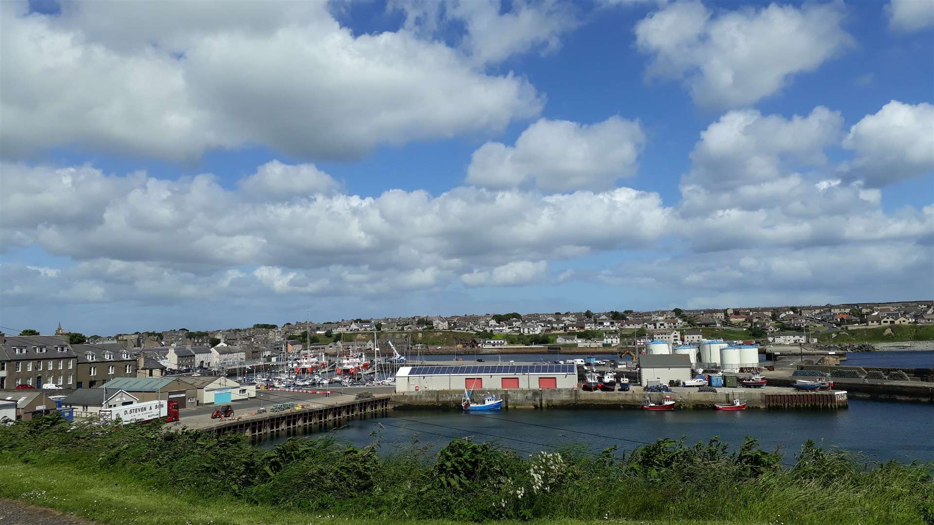
The physical process of convection in thermal upcurrents causes cumulus clouds to develop. When they are growing vertically, they have distinctive billowing contours that resemble cauliflowers.
Over the land, cumulus are diurnal (daytime) forming, dispersing as the land warms and then cools again with the rising and setting of the sun. However over sea cumulus are non diurnal because it is not the sun but the sea temperature, that triggers the thermals in the air blowing across its surface. Sea temperature does not change significantly enough over short periods. Therefore, if it is warm enough to generate convection during the day, it is also warm enough to cause the process at night. This is because unlike for example most metals, that have a low specific heat capacity, water has a high capacity. This means equal masses of, for example, iron, and water, would warm and cool at different rates. The iron will warm up quickly, and when the energy source is withdrawn, cool rapidly, because it does not require as much energy as the same mass of water to change temperature.
The most spectacular cumulus clouds are Cumulonimbus. When mature, they manifest as huge menacing towers that cause electrical storms and often heavy showers. Cumulonimbus often have anvil shaped tops.
June 2022 was Wick’s most warm since 2003. Closer examination of the burgh’s archive for mean air temperature for June avouched that it is presently the second warmest in a series commencing from 1910.
Wick’s precipitation record for June 2022 attested it was the least wet since that of 1988, and is currently sixth driest stretching back to 1910.
No “days of gale” were recorded during the month.
Wick’s mean air temperature for June 2022 was 12.78C (55.0F). The long term average in terms of the updated 30 year averaging period from 1991-2020 is 11.25C (52.25F). Wick’s warmest June since 1910 is currently 2003. The mean air temperature for that month was 13.24C (55.83F).
Wick’s average daytime maximum air temperature for June 2022 was 15.95C (60.71F). The long term average is 14.28C (57.70F). Highest maximum was 20.6C (69.1F), witnessed on June 17 and 23 respectively. The lowest maximum was 12C (53.6F), on June 8.
The town’s average overnight minimum air temperature for June 2022 was 9.61C (52.3F). The long term average for June is currently 8.21C (46.78F). The highest minimum air temperature was 13.2C (55.8F), observed on June 10. The lowest ambient temperature was 3.5C (38.3F), recorded on June 2.
The temperature fell to 0C (32.0F), or lower at five cm over the grass on one date. The lowest temperature noted over the grass was minus 0.8C (30.6F), on June 3.
Precipitation was measurable on 15 dates. The total for the month was 17.2mm (0.68 of an inch). Wettest day was June 20. The quantity was the 24 hours commencing 9am (GMT) was 4.0mm (0.16 of an inch).
Wind velocities reached or exceeded gale force eight, (39mph/33.9knots), on four dates. The strongest wind velocity was observed during the hour ending 12pm (GMT) on June 18, when a force six westerly wind gusted up to 47.2mph/41.0 knots, severe gale force nine on the Beaufort scale.